Ursa Trail: Metsovo-Politsoara
Epirus: Ursa Trail
Trail Metsovo-Politsoara
The third part of the Ursa Trail trek starts from the central square of Metsovo and follows the main paved road to the western exit of the city. At the exit, we take a narrow uphill asphalt street that passes through the old Tositsa institution's premises, where only a carpenter workshop still operates. We exit the site and go left at the asphalt road, cross the national road and reach the War Memorial, where the route enters a path.
This part of the route until "Politsoara" meadow has been decorated with works of the Athens School of Fine Arts, starting with the gateway where the path starts. The path crosses a small grove and soon reaches a sightseeing spot with seats made of tree trunks. The trail then climbs on a ridge (on our left we distinguish trenches of the Civil War) and reaches a resting point. From there we continue to the top of the lift of Metsovo ski resort near Karakoli summit.
From Karakioli we descend to the meadows of Politsoara where a dirt road arrives. The dirt road connects to the old national road Kalambaka-Ioanina and intersects the route of the fourth leg of Ursa Trail. Here, the third leg of trekking Ursa Trail returns to Metsovo, following the common path of the two racing tracks.
We follow the dirt road, pass the fountain Politsoara (with two ponds) and catch an uphill path that soon becomes a wider track and leads us near the summit Karakioli. From there we start a long descent to the base of the ski lift, following a wide track (labeled "easy route"). Arriving at the height of the cafe-teleferique, we cross the asphalt and enter a path. At 200 meters we enter a cement road that passes in front of the Pindos National Park Information Center. From there we descend first on cement road and after on wide cobbled path until we get to the central square of Metsovo.

topoguide greece
The hiker's Ursa Trail

Detailed descriptions, metrics and photos of the four legs of the hiking Ursa Trail area are included in the Ursa Trail topoguide hiking guide.
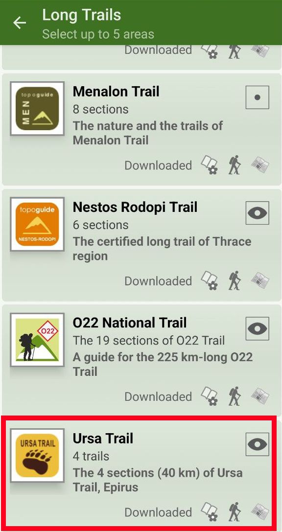
Ursa Trail topoguide is available for Android devices as one of dozens of regions of Greece offered by the application topoguide Greece. Get the Ursa Trail topoguide as an in-app purchase.
Ursa Trail topoguide is also available for iOS (iPhone και iPad) devices as one of the regions offered in the hiking application Topoguide Greece. Get the in-app purchase Ursa Trail topoguide and explore the beautiful area of Metsovo.

