Long Pelion Trail
Long Pelion Trail
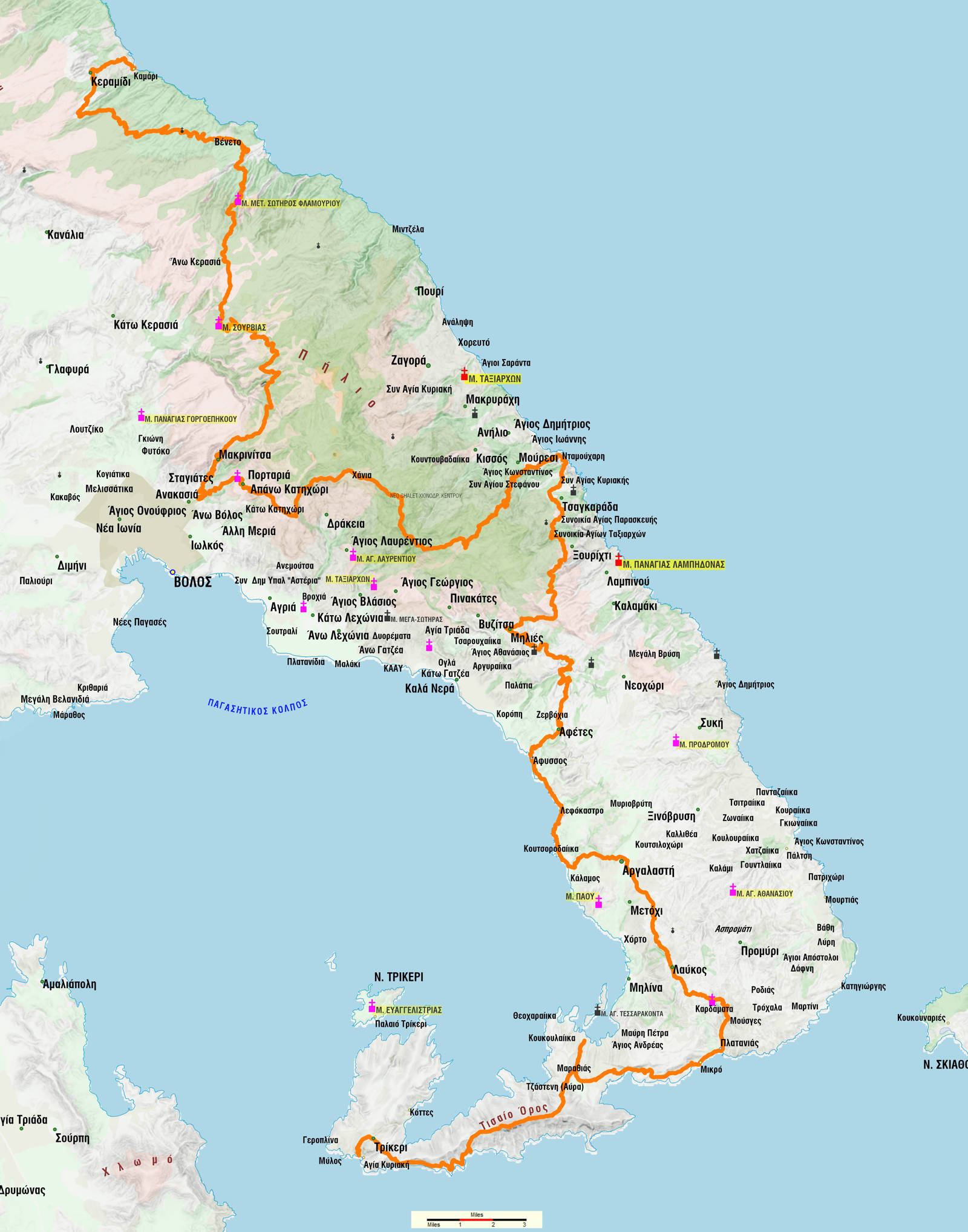
Long Pelion Trail is a long (168 km, just over 100 miles) hiking route that was designed as a Long Distance trail by the alpinist Nikos Magitsis. It runs along the orographic axis of Mt Pelion, either on the ridges and the peaks, or along the coastline.
he route starts from the northern foothills of Pelion (Keramidi and Veneto area) and ends at Cape Trikeri. In order to achieve the symmetry of the route, the starting point is set on Kamari, a small village and the route ends at the picturesque port of Agia Kyriaki, at the confluence of the Pagasitikos Gulf, Evian Gulf and Aegean Sea.
Behind these symbolic extremes, the route connects Keramidi, the major village of northern Pelion, with Trikeri, a landmark of the southernmost tip of the penisnula.

Click to enlarge
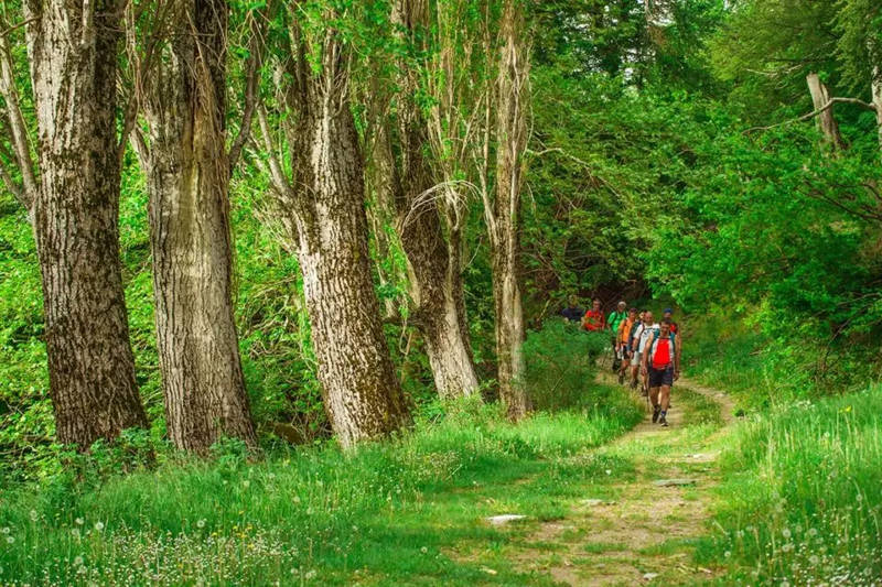
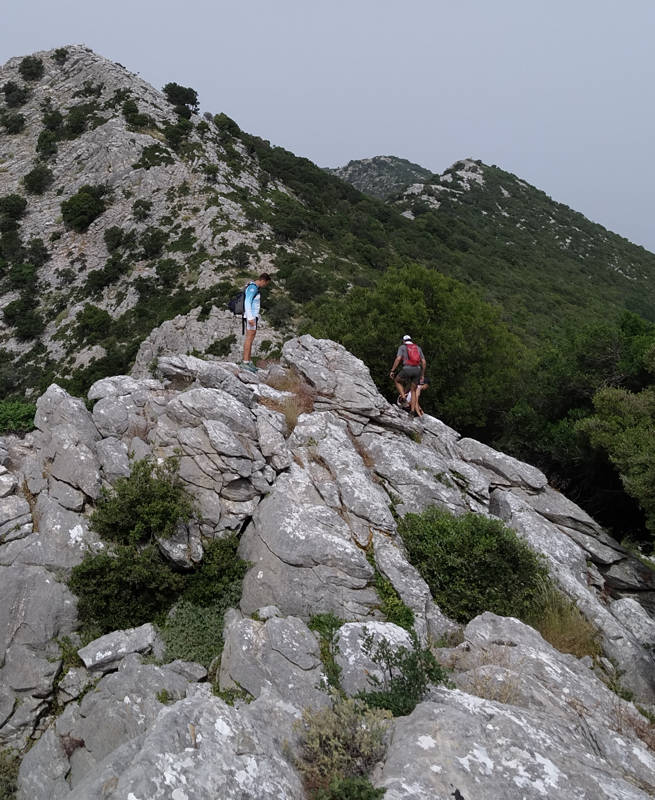
Along its 168 km, LPT crosses ridges and beaches, residential and uninhabited areas, rural and forest landscapes, busy towns and abandoned monasteries, tourist and almost unknown areas, thus lining up in a single route all the elements of the landscape, the past, the present and the perspective of Mt Pelion.
For 168 km, the route detects and follows the old paths that connected the settlements with each other, with their rural territories or with their ports. However, in a region that has been used for agriculture and tourism for a long time - quite intensively in recent decades - it is fatal that these old axes have been broken or damaged by the newer road network and other land uses.


These settlements offer catering, accommodation and supply infrastructure - in most cases more facilities are available during the summer months.
The study of the final routing, the marking and the cleaning, but also the production of the promotion material - maps, guidebook, website - is supported by Magniton Kivotos, an organization of the Diocese of Demitrias.
Long Pelion Trail took its final shape in the Spring of 2021, during the surveying of the route, implemented by T. Adamakopoulos and Aik. Zagaretou with the participation of N. Magitsis. Based on this definitive mapping, it is proposed to the hiker to schedule the 168 km into 11 daily sections.
The 11 daily sections
- 1st section: Kamari-Keramidi-Veneto
- 2nd section: Veneto-Flamouri monastery-Sourvias monastery
- 3rd section: Sourvias monastery-Makrinitsa
- 4th section: Makrinitsa-Agios Onoufrios-Stagiates-Portaria-Chania
- 5th section: Chania-Mouresi-Damouchari-Tsagarada
- 6th section: Tsagarada-Milies
- 7th section: Milies-Panagiotiko-Afetes-Afissos
- 8th section: Afissos-Lefokastro-Kalamos-Argalasti
- 9th section: Argalasti-Lafkos-Platanias
- 10th section: Platanias-Mikro-Chondi Amos-Valtoudi
- 11th section: Valtoudi-Mt Tisseon-Trikeri-Agia Kyriaki
Long Pelion Trail topoguide
The best escort on Long Pelion Trail is the guide Long Pelion Trail topoguide, a member of the Long Trails group of the app topoguide Greece, available for Android devices via the Google Play Store.
The guide Long Pelion Trail topoguide is also available for iOS (iPhone και iPad) devices via the app Topoguide Greece, as a member of the Long Trails group.
The application offers active navigation along the trails, as well as a concise guide on the geography, the nature and the culture of Mt Pelion.

