Platanias-Valtoudi
Long Pelion Trail
Platanias-Valtoudi
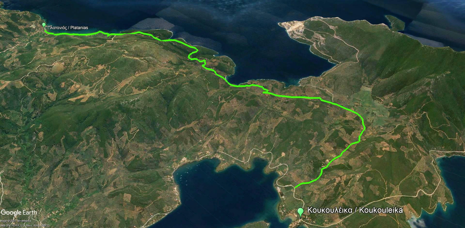
Click to enlarge
| Section name |
Difficulty |
Length m |
Ascent m |
Decent m |
Maximum elevation m |
Minimum elevation m |
Time h |
|---|---|---|---|---|---|---|---|
| Platanias-Mikro-Chondri Amos-Valtoudi | 1/5 | 11028 | 223 | 214 | 104 | 0 | 6-7 |
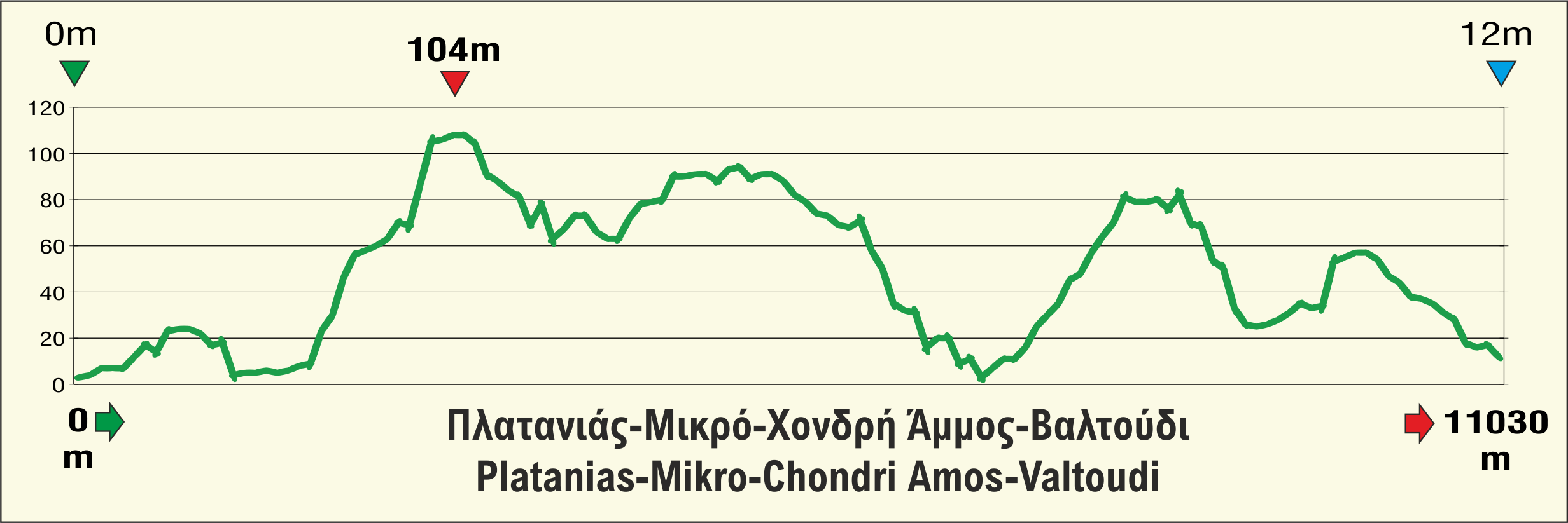
Elevation profile of Platanias-Mikro-Chondri Amos-Valtoudi route
This is the tenth and penultimate part of Long Pelion Trail. It connects the village of Platanias with the foothills of Mt Tisseo, where the very last part begins. The section cross a sparsely populated area which provides very few facilities even during the busy summer months. Therefore, this hiking route requires the right preparation regarding food and water supplies.
Click to enlarge
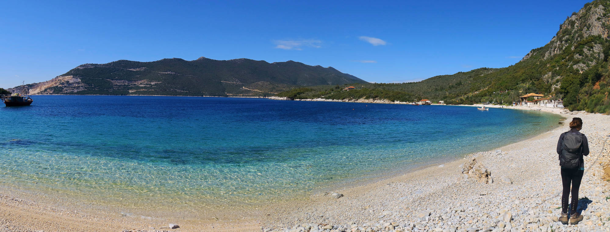
In the past, the connection between Platanias and the remote area of Trikeri used to be accomplished mostly via the sea routes. Long Pelion Trail benefit of the recently built rural roads to ensure this connection.
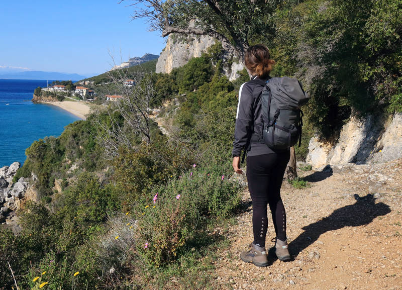
Text: Aik. Zagaretou, photos: T. Adamakopoulos
Walkability chart-Warnings
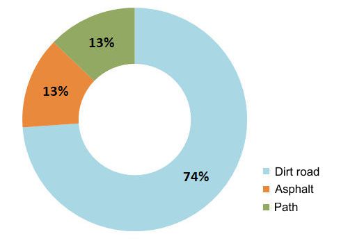
Note however that the route is completely exposed to the sun.
You will find some red marks.
The length of the route is 11 km and can be done in 5 hours.
Long Pelion Trail topoguide
The best escort on Long Pelion Trail is the guide Long Pelion Trail topoguide, a member of the Long Trails group of the app topoguide Greece, available for Android devices via the Google Play Store.
The guide Long Pelion Trail topoguide is also available for iOS (iPhone και iPad) devices via the app Topoguide Greece, as a member of the Long Trails group.
The application offers active navigation along the trails, as well as a concise guide on the geography, the nature and the culture of Mt Pelion.

