The Centaurs' trail
Central Pelion
The Centaurs' trail
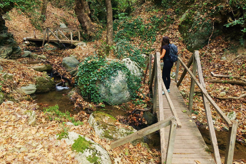
Crossing the stream
The Centaurs' Trail is a short but beautiful route that follows the bed of one of the many streams that surround Portaria. Once visiting the place, one easily understands why the trail it got this name: The music of the water and the melody of the plane trees leaves and pending brambles stems give the impression that centaurs are watching us.
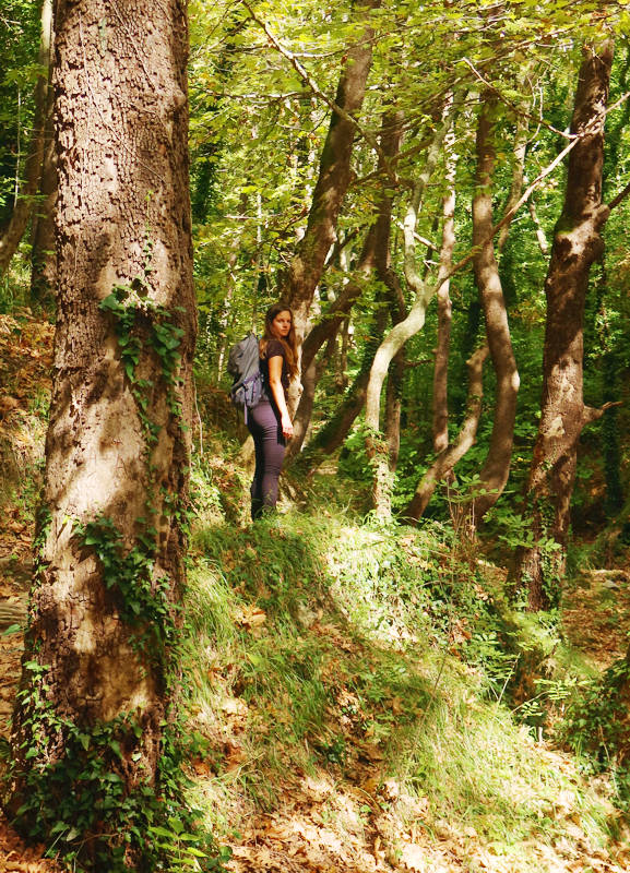
The play of light with foliage and trunks
creates the special atmosphere of the Centaurs' Trail
The Centaurs' Trail is an ideal route for those who wish to experience the magic of Pelion's nature in a relaxing way. From the beginning of the trail to the finish it takes no more than 40min. The return is by the same route or alternatively by paved roads, thus making a circular walk around Portaria.
In Spring we can find beautiful flowers that are favoured by the rich and moist soil, but also by the rays of light that penetrate the thick foliage of the Plane trees.
The Centaurs' Trail starts at the first ravine we come across, going on the main asphalt road from Portaria to Makrinitsa, just 250 m from the Volos-Chania-Makrinitsa crossroad. In the recess of the ravine there is a recreation area and a signpost with the name of the path. The start of the trail is through the large stone arch (called "Kamara" by the locals).
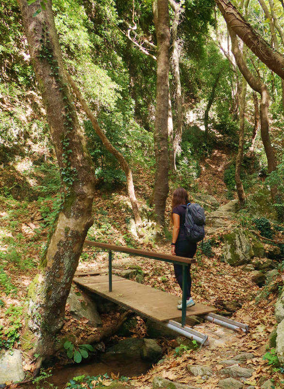
On the Centaurs' Trail
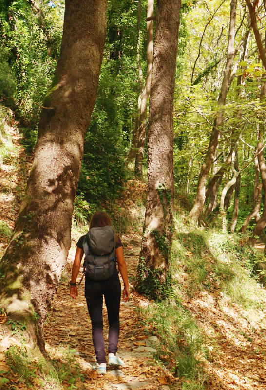
On the Centaurs' Trail
Text: Keterina Zagaretou
Photos: T. Adamakopoulos
Marking-Warnings
The length of the route is 1.9 km and is constantly uphill - the slope is however gentle. The climb will take around 40 minutes. The descent takes only 25 minutes.

topoguide Greece
GUIDES TO MT PELION
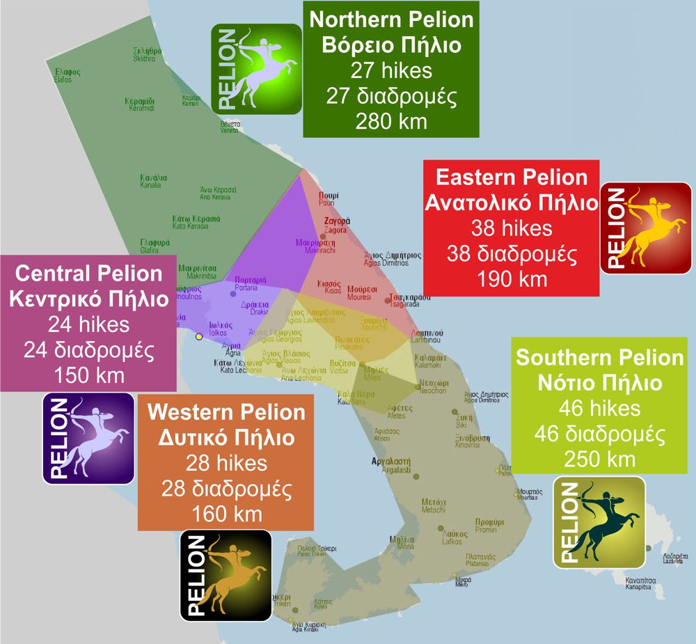
Central Pelion topoguide is available for Android devices along with dozens of guides of other regions of Greece, within the hiking application topoguide Greece. Get Central Pelion topoguide as an in-app purchase through the application.
Central Pelion topoguide is also available for iOS (iPhone και iPad) devices within the hiking application Topoguide Greece. Get the Central Pelion topoguide as an in-app purchase via the application.
Central Pelion is a member of the Central Greece topoguides group.
It is very interesting that topoguide Greece has the ability to simultaneously display many areas, thus allowing the overall view of the detailed map of the whole of Mt Pelion and the easy alternation of the routes, the Points Of Interest and the dozens of pages of the guide with the countless photos.

