Butterflies in Valia Kalda
Butterflies in Valia Kalda
Butterflies in Valia Kalda
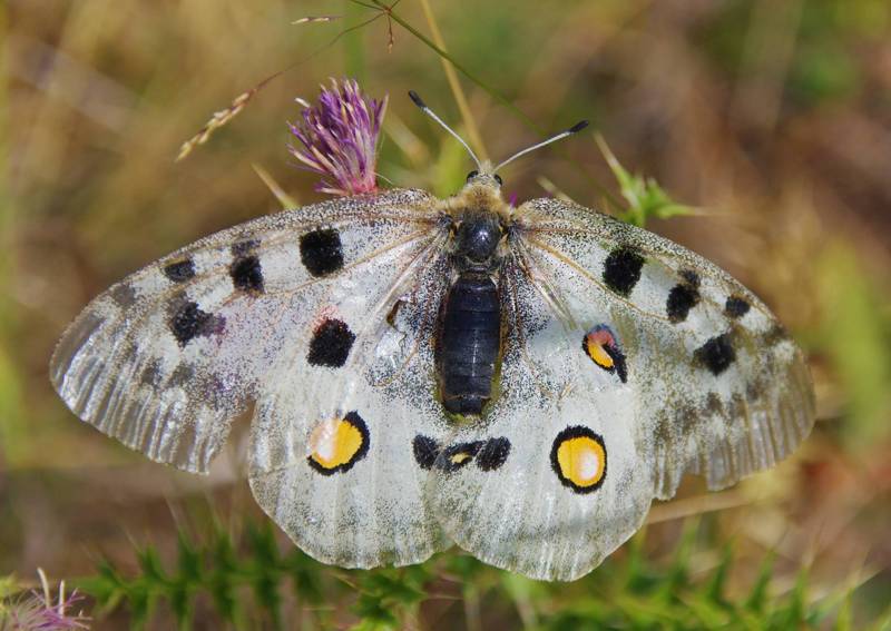
Parnassius apollo
Parnassius apollo
In the summer, on the meadows low in Valia Kalda, but mainly on the bare landscapes around the summits, studded with flowering thistles and other herbaceous plants, we will see several species, other quite uncommon, such as the impressive Parnassius apollo and the dark Erebia melas, and other widely distributed, such as the colorful Vanessa cardui and the golden yellow Colias croceus.
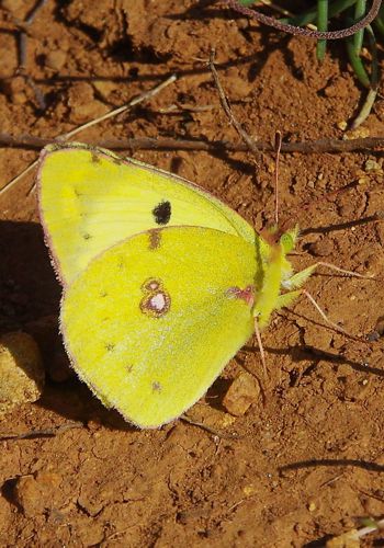
Colias
croceus
croceus
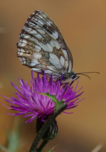
Melanargia
galathea
galathea
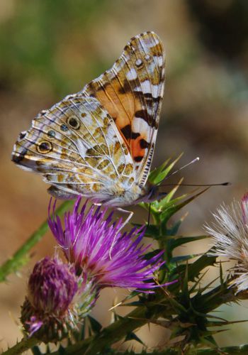
Vanessa
cardui
cardui
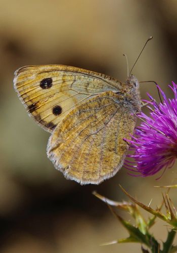
Pseudochazara
graeca
graeca
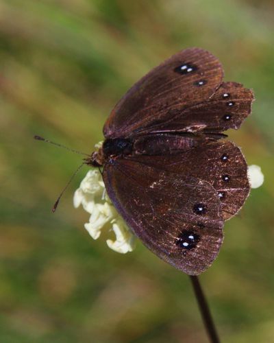
Erebia
melas
melas
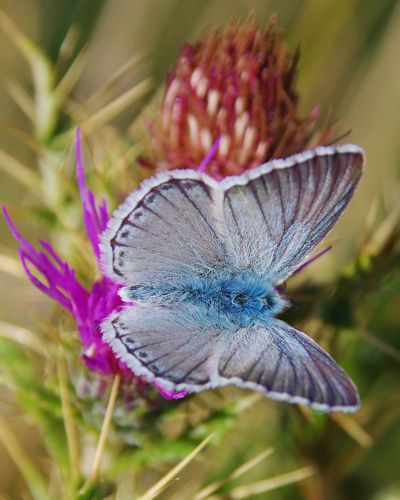
Lysandra
coridon
coridon
Text: A. Kaltsis
Photos: T. Adamakopoulos

topoguide Greece
Discover Valia Kalda butterflies
Pictures and information for
The digital field guide Valia Kalda topoguide is available for Android devices as an in-app purchase within the application topoguide Greece. Valia Kalda is a member of the North Greece group.
Valia Kalda topoguide is also available as an in-app-purchase for iOS & iPad devices via the global hiking app Topoguide Greece app. There again, Valia Kalda topoguide is a member of the North Greece group.
Valia Kalda topoguide includes an extended introduction on the geography, the nature and the history of the area.
The app includes also data, photos, POIs and descriptions of 18 hiking routes. Once in the field, the application identifies the nearest routes and offers the user active navigation.
