Birds of Valia Kalda
Birds of Valia Kalda

Black Woodpecker (Dedrocopus martius)
The extended woodland biotopes of Valia Kalda valley host numerous typical forest birds. Black Woodpecker is quite common in this zone, the area, however, is ideal biotope for other woodpeckers too, from the most common, such as Great Spotted Woodpecker, to the most difficult to see, such as Gray and White-Backed Woodpecker.

Horned Lark (Eremophila alpestris)
The rare in more southern conifer woods Crested Tit is a frequent sight (and hearing) in the heart of the valley, along with the very common Coal Tit. Gray Wagtail and White-throated Dipper breed in Arkoudorema and are quite easily observed.

Golden Eagle (Aquila chrysaetos)
Short-toed Eagle nests in the area and is regularly observed, often with a snake hanging from its feet. Golden Eagle is frequently observed in Avgo and a pair is considered breeding there. Red-backed Shrikes, Rock Buntings, Woodlarks, Ortolan Buntings, as well as few pairs of Yellowhammers breed in the meadows in the periphery of the area. Black Stork is easily observed in the area of Aoos Springs reservoir, a few pairs have been recorded breeding there.
Text: A. Kaltsis
Photos: T. Adamakopoulos

topoguide Greece
Discover Valia Kalda avifauna
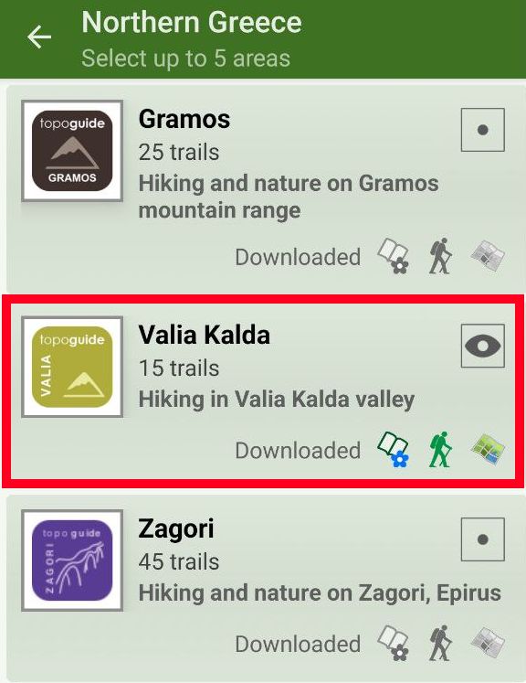
The digital field guide Valia Kalda topoguide is available for Android devices as an in-app purchase within the application topoguide Greece. Valia Kalda is a member of the North Greece group.
Valia Kalda topoguide is also available as an in-app-purchase for iOS & iPad devices via the global hiking app Topoguide Greece app. There again, Valia Kalda topoguide is a member of the North Greece group.
Valia Kalda topoguide includes an extended introduction on the geography, the nature and the history of the area.
The app includes also data, photos, POIs and descriptions of 18 hiking routes. Once in the field, the application identifies the nearest routes and offers the user active navigation.


