Hiking and mountaineering in Nafpaktia
Hiking and mountaineering in Nafpaktia
A large part of the innumerable mule teacks and paths of the old era were sacrificed during the phase of the construction the newer road network and were therefore lost forever. Of the major paths, only those that ran through steep zones were saved, often broken up by dirt roads. In contrast, local pastoral paths were preserved, but they also gradually disappeared as mountain pastoralism declined.
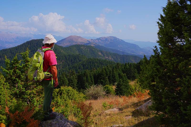
Near Kerasovouni peak
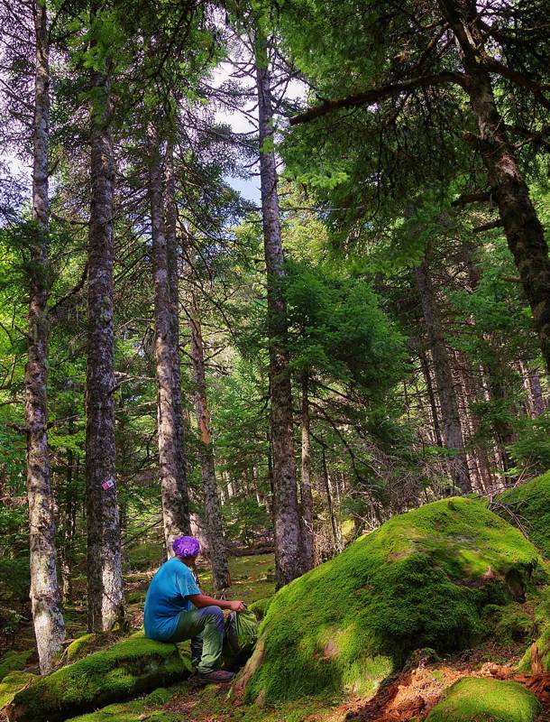
On the Elatou-Skotomenos hike (D15 or M2 trail)
Around the villages Podos, Ano Chora, Ambelakiotisa, Kryoneria and Elatou, efforts have been made to revive the old paths and from a network of intersting trails. The nice signposts that have been set up at relevant points in the area present the plan of a network of 17 routes, of which only the core around Ano Chora has been implemented.
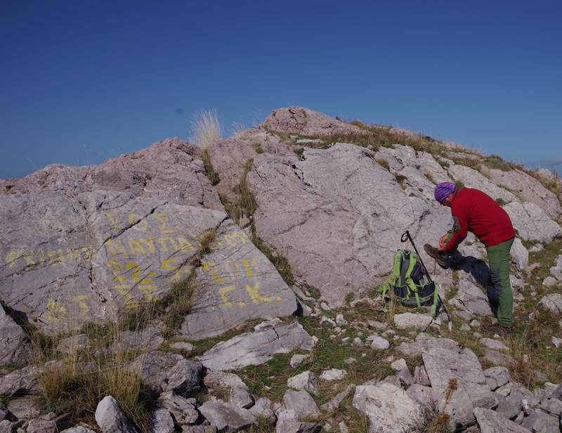
On the top of Tsekoura peak (1733 μ.)
Mountaineers prefer longer and most demanding routes and focus on the highest - and usually steep - peaks of the area, such as the ascent to Tsekoura peak (1733 m.), Tsakalaki peak and Ardinis peak.
Trails around Ano Chora
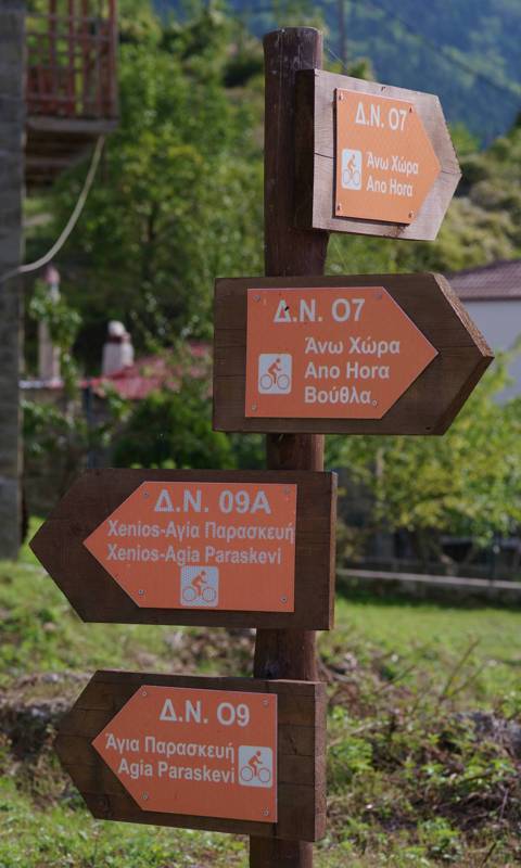
Direction signposts of the Ano Chora hiking network
The most coherent network of hiking routes in Nafpaktia Uplands is based on the group of old paths around the village of Ano Chora. Today, the hiker can find some 5-6 well-marked and well-trodden routes. Most of them are loop or short trails, aimed at the wider touring public - families, groups and travel groups.
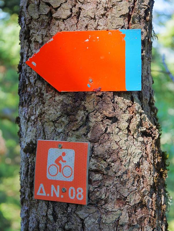
Marking of the Ano Chora Tsournas waterfall trail
A pleasant route called "Forest Trail" has also been marked and equipped with many environmental interpretation boards, which provide a lot of information about the vegetation and flora of the area.
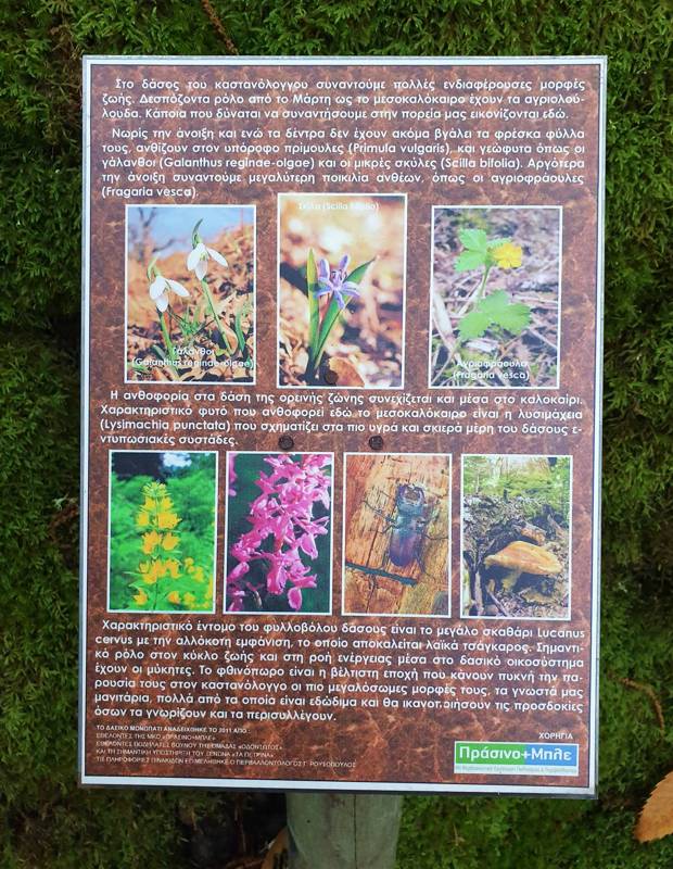
Environmental interpretation board on the "Forest Trail", Ano Chora
Some of the Ano Chora routes end or pass through the sister village Kato Chora, where they connect with other trails.
Trails around Ambelakiotissa
Hidden at the bottom of a steep and densely wooded basin, Ambelakiotissa can be reached on foot via the beautiful route Ano Chora-Ambelakiotissa crossing the Kanavos gorge. Another trail crosses the westernmost slopes and leads to the small village Chomori. There is also the possibility of climb the steep slopes to Ardinis and Tsekoura peaks.
Trails around Elatou
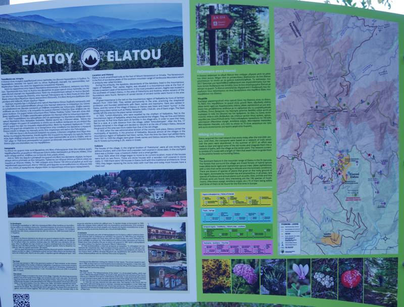
Main board of the Elatou hiking network
Elatou is the center of a small but interesting hiking network. Most popular hikes (D14 and D15) are connected to the network of Ano Chora. A local network of 5 routes with code M was also recently developed.
Trails around Kryoneria
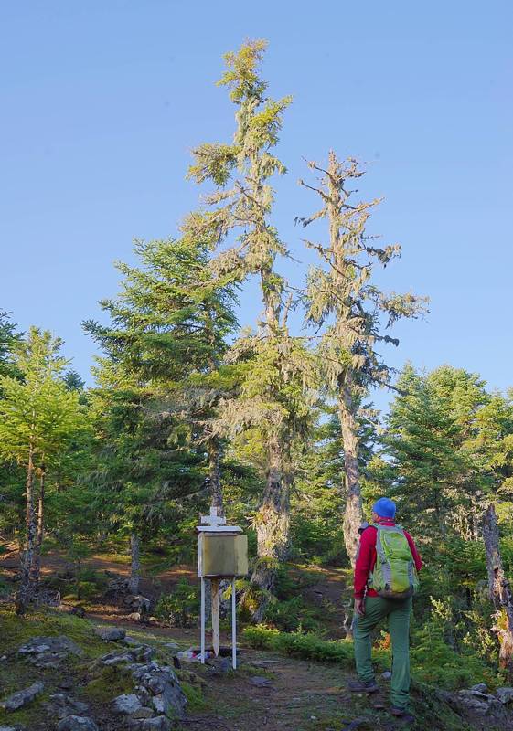
At the shrine of the Tsekoura ridge, on the Kryoneria-Agios Dimitrios route
Kryoneria is the center of a small network of climbing, hiking and touring routes. Most appealing routes are the two converging to the impressive Tsekoura peak. Kryoneria-Agios Dimitrios route is also worth to check.
Trails around Platanos
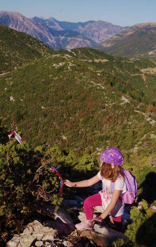
Near the top of Alonaki peak
Around Platanos, a climb from the village to the small but distinct Alonaki peak was recently marked. The route takes advantage of the old path from Platanos to Agii Apostoli.
Inns and bridges
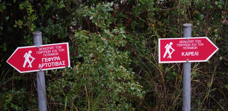
Marking of the trail to Kareli and Artotiva bridge
The route Hani Papadias-Hani Loi reproduces, on the layer of today's dirt roads and paths, the old connection of Nafpaktos with its mountainous hinterland, while the routes Platanos-Artotiva bridge-Pano Kampos and Chrysovitsa-Artotiva bridge-Pano Kampos include the historic bridge of Artotivas in the hiking network of the area.
Long trails
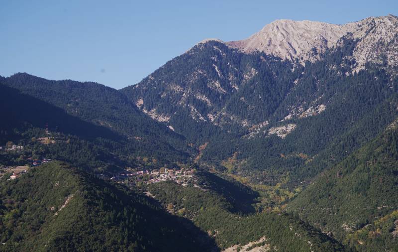
Ano Chora-Kakavos-Ambelakiotissa-Chomori route runs along the Ambelakiotissa bassin
Prospects for long hikes in Nafpaktia Uplands have not been sufficiently explored. A few connections are known (Elatou-Ano Chora-Kryoneria via Agios Dimitrios monastery, Ano Chora-Ambelakiotisa-Chomori via Kakavos gorge, a crossing from the Hani of Papadia in Hani tou Loi, the old path from Chrysovitsa to Platanos via the bridge of Artotivas, etc.), which follow old connecting between the villages. The marking and passability of these routes is still incomplete.
| # |
Trail URL |
Comments . |
Length km |
|
|---|---|---|---|---|
| Long Trails | ||||
| Elatou-Kato Chora-Ano Chora-Agios Dimitrios monastery-Kryoneria | Compilation of the routes D14 Elatou-Skotomenos, D09 Kato Chora-Skotomenos, D07a Ano Chora-Kato Chora, A6a Ano Chora-Μονή Αγίου Δημητρίου and A6b Kryoneria-Agios Dimitrios monastery | 16.5 | ||
| Ano Chora-Kakavos-Ambelakiotissa-Chomori | Compilation of the routes A4 Ano Chora-Ambelakiotissa and A5 Chomori-Ambelakiotissa | 11.7 | ||
| Chrysovitsa-Artotiva bridge-Πλάτανος | Compilation of the routes Chrysovitsa-Artotiva bridge-Pano kambos and Platanos-Artotiva bridge-Pano kambos | 13.3 | ||
| Total | 0 | |||

