Mt Giona: Reka gorge
Mt Giona: Reka gorge
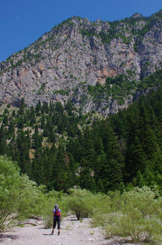
With a total length of almost 11 km, Reka gorge – or simply Reka for the locals and “Giona lovers” – is the longest, deepest and most impressive ravine in Roumeli. It is the result of the union of an extensive fault with the impetuous waters of Giona, Reka forms a vast tear on the stiff volume of the eastern side of the complex, so deep and precipitous that is actually inaccessible at any other point but its start and end. The vertical walls that define it have an elevation range of 800 m.

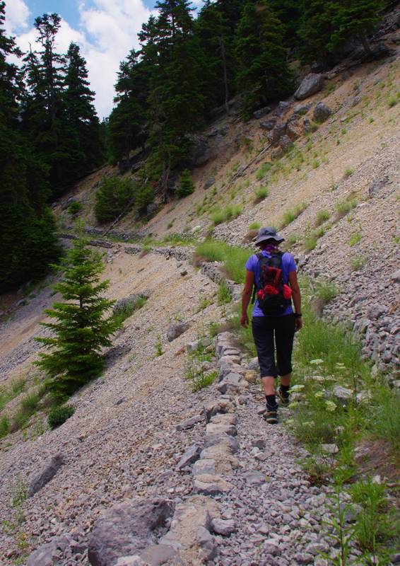
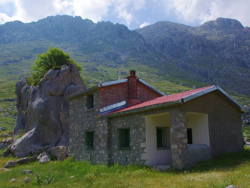
Nevertheless, thanks to a whim of Nature, Reka is passable along its axis. Hence, it was utilized since ages as an access axis towards the heart of the mountain, that is, the inner side of the highest peaks. The path was gradually etched and significantly improved in the early 20th c. for the purpose of timber transfer and since then it had been systematically used by the breeders of Sigditsa, who always had their summer huts at Lakka Karvouni and the surrounding slopes. In its newest version, the path has built sides and spacious maneuvers. Following this path, people of Sigditsa used to also go to Mylos, the ledge where the sole spring of the ravine used to set in motion one of the flour mills of the village. Moreover, mountaineering groups followed this path to climb to Pyramida: this strenuous but safe access had been the reason that POA (Athens Hiking Club) refuge is built at Lakka Karvouni, a location with great view and water, but somewhat off-center in relation with today’s mostly used accesses to the peaks.

As livestock breeding has largely been replaced by bauxite mining, Reka’s path was abandoned and started to faint. This old route of Giona was renovated recently, as a mountaineering path, and some parts were reinforced. This newer work is already in decaying stage, the path itself, however, is open and clear, while fountains and marking have deteriorated.

Crossing of Reka takes usually place as a downhill course, starting either from Vathia Lakka or the refuge. In this direction, 4-5 hours will be needed from POA refuge to Viniani. The magic of Reka, however, is hidden in its uphill course, 6 hours from Viniani up to the refuge, a route with constant visual surprises. Inclination is low and the last part from the ridge up to the refuge is well-built and with nice view.

As mentioned above, water is available only at one point, at Mylos location. The spring is considerably higher than the path, in the secondary ravine and has always plenty of water.
Apart from its hiking and historical interest, Reka is also particularly significant in environmental terms: it is the largest winter refuge of Giona chamois, while it hosts hundreds of rare plants on its slopes.
A particularly accurate routing of the trail along Reka gorge as well as all details that hikers and naturalists would be interested in are included in the Giona topoguide. The application is available for Android devices at Play Store and iOS devices at App Store.
The application provides active navigation along the route, as well as a rich guide in the geography, nature and culture of Mt Giona area.

