Afissos-Lefokastro
South Pelion
Afissos-Lefokastro

South Pelion topoguide
Razi beach
Click to enlarge
Razi beach
Click to enlarge
×
![South Pelion topoguide: Razi beach South Pelion topoguide: Razi beach]()
South Pelion topoguide
Razi beach
Razi beach
Afissos-Lefokastro hike follows almost entirely the coastal asphalt road from Afissos to Lefokastro.
The hike Afissos-Lefokastro starts from the small square of Afissos and follows the coastal asphalt road to the South.

South Pelion topoguide
The beautiful square of Afissos
The beautiful square of Afissos

South Pelion topoguide
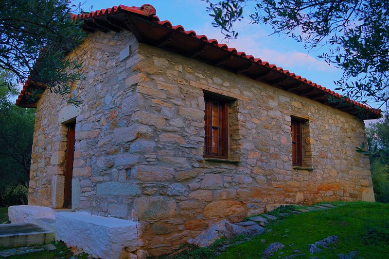
Profitis Ilias chapel, between Afissos and Lefokastro
Profitis Ilias chapel, between Afissos and Lefokastro

South Pelion topoguide
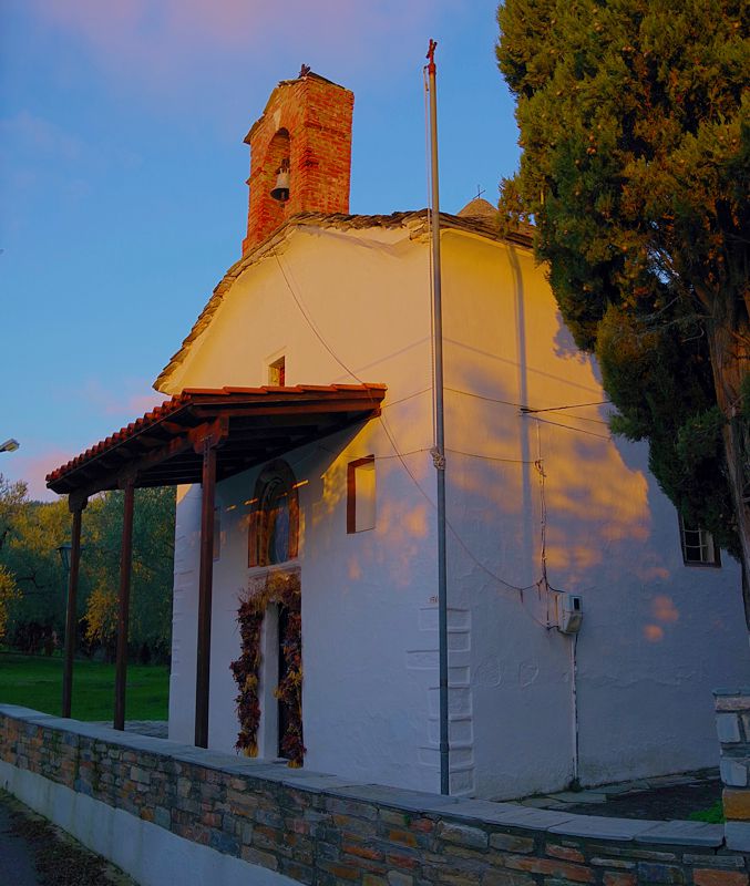
The chapel of Agios Pandeleimon near Lefokastro
The chapel of Agios Pandeleimon near Lefokastro
Text and photos: T. Adamakopoulos
Marking-Warnings
The route is not marked at all.
Although the course follows an asphalt road, it is not boring, as it meanders close to the coast and among old and new olive groves.
There is a fountain in Afissos and a tap in Lefokastro.
The length of the hike is 3.2 km and takes around 1 hour.
Although the course follows an asphalt road, it is not boring, as it meanders close to the coast and among old and new olive groves.
There is a fountain in Afissos and a tap in Lefokastro.
The length of the hike is 3.2 km and takes around 1 hour.

topoguide Greece
GUIDES TO MT PELION

Decriptions, mapping, photos and metrics for the Afissos-Lefokastro hike are included in the guide South Pelion topoguide, created by AnaDigit.
South Pelion topoguide is available for Android devices along with dozens of guides of other regions of Greece, within the hiking application topoguide Greece. Get South Pelion topoguide as an in-app purchase through the application.
South Pelion topoguide is also available for iOS (iPhone και iPad) devices within the hiking application Topoguide Greece. Get the South Pelion topoguide as an in-app purchase via the application.
South Pelion is a member of the Central Greece topoguides group.
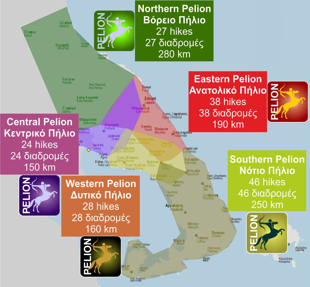
It is very interesting that topoguide Greece has the ability to simultaneously display many areas, thus allowing the overall view of the detailed map of the whole of Mt Pelion and the easy alternation of the routes, the Points Of Interest and the dozens of pages of the guide with the countless photos.

