Best hikes in Greece
hikes
in Greece
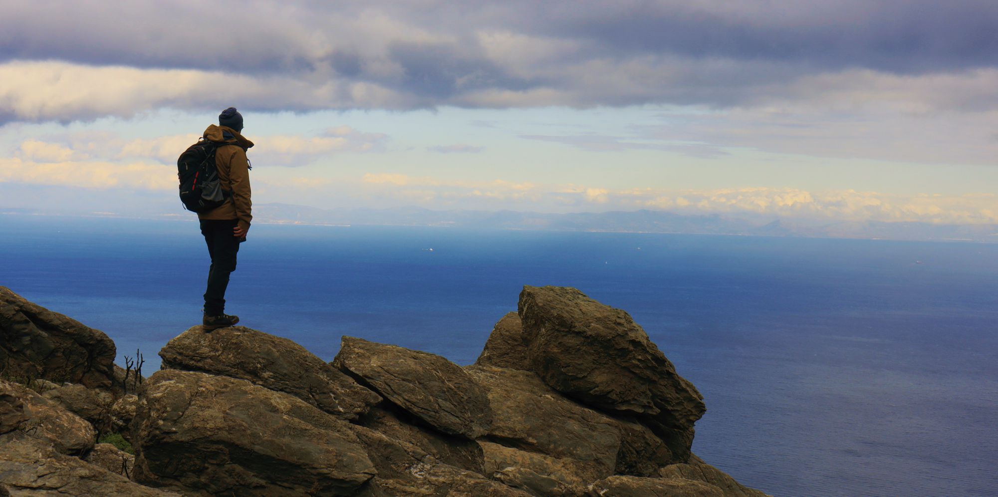
Greece, with hundreds of mountains and several thousand islands, offers the richest and most authentic hiking field in Europe. Countless kilometers of cobbled and natural paths run across every slope and gorge of Greece. The hiker has to choose between the E4 and E6 European Trails, several hiking networks certified by the European Ramblers Association, such as the Menalon Trail and the Nestos-Rodopi Trail, numerous other local hiking networks, like in Sifnos island and Pelion, and an endless variety of signposted paths, leading to peaks, villages, monuments, beaches, lighthouses and other magical destinations.
Some of our paths, such as The ancient paths of Attica are the descendants of the ancient roads. Others, have been included in Long Trails of Greece, such as Corfu Trail in the venerable island of Corfu, the Long Pelion Trail in Mt Pelion, Epirus Trail in NW Greece and the National Trail O22.
But among all this wealth, what are the best trails in Greece ?
Santorini
Cyclades
Kamari-ancient Thera-Perissa
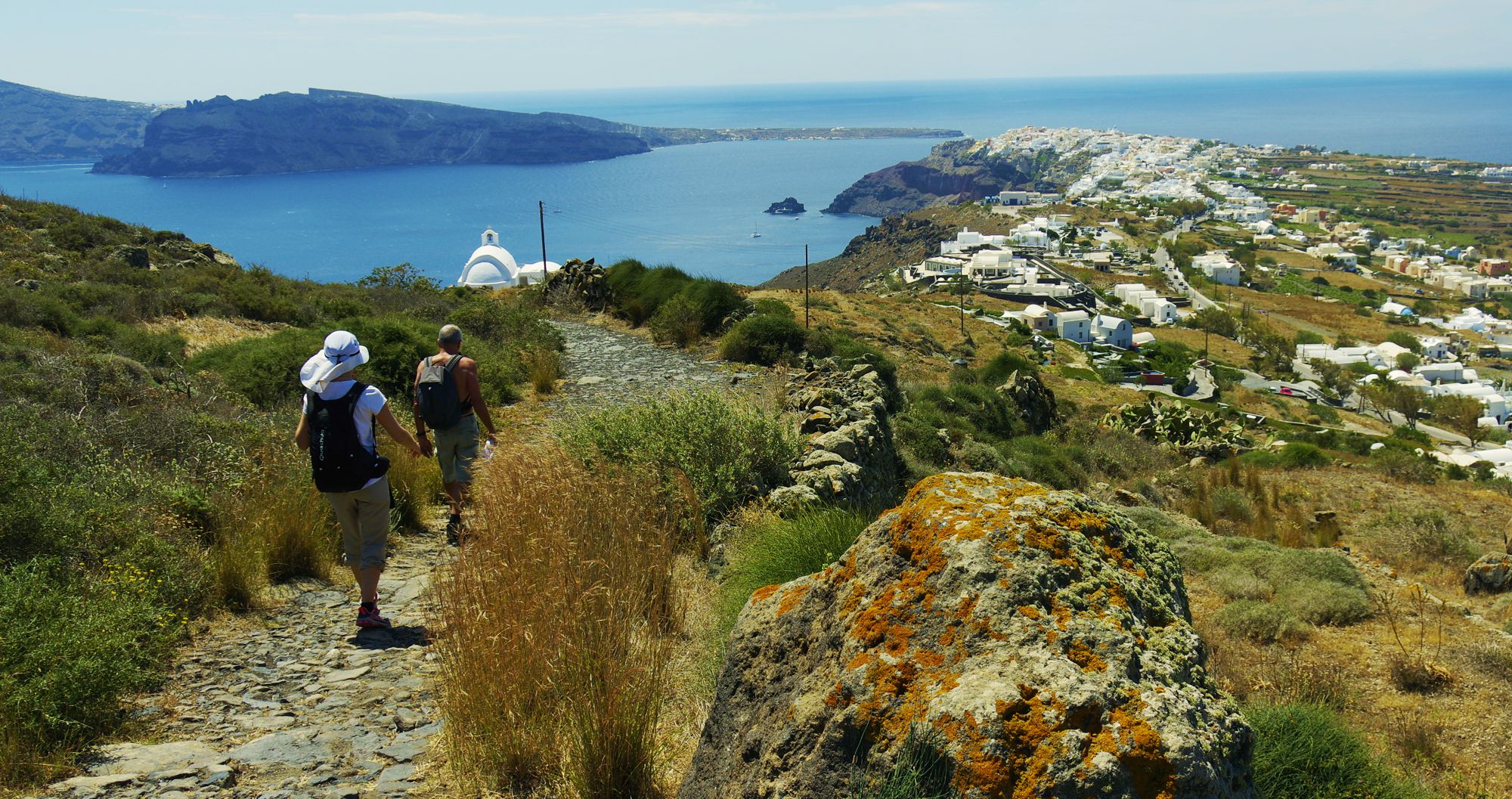
The landscape of Santorini is a unique marriage of wild stone sculpture with the little touches that sing the history of human civilization: Minoan undercut dwellings, Venetian towers, white chapels and old windmills are counting the milleniums like hours.
The route that combines all the elements of this unique composition is the Kamari-Perissa route, the most beautiful route in Santorini, a true flight in the Cycladic light.
The trail begins impressively from Kamari, at the base of a reddish cliff, and reaches Zoodochos Pigi, the chapel that perpetuates the magical water spill that fed the ancient city of Thera. From Selada, the highest point of the trail, we can visit the archaeological site of Thera.
The way down to Perissa is smooth and very pleasant, passes near the Panagia Katefiani chapel and ends at the early christian church of Agia Irini, on the edge of the bustling Perissa.
Naxos
Cyclades
Ascent to Zas
The Cyclades are particularly generous to hikers: there is no island in the archipelago that has not kept a small or larger net of paths to offer to its visitor.
Naxos, however, is a special case in the Cyclades: the island is large, with a rugged mountainous terrain, which did not hosted any modern road network. Thus, the old paths are largely intact and the hiker can walk for hours, from village to village, from beach to beach and from one peak to a monastery.
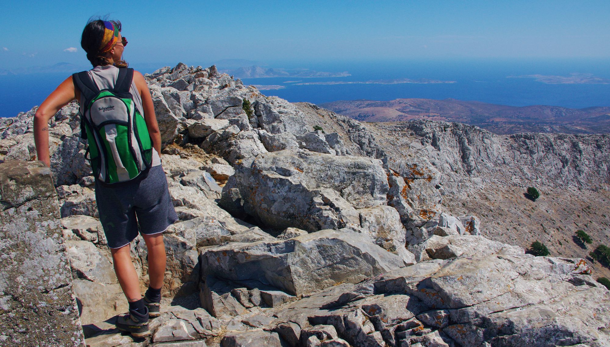
Inevitably, climbing the highest mountain of Naxos, which is also the highest of the Cyclades, is a unique experience: beaten by the winds, tipsy from the scenery, lost on the islands that are gradually popping up on the horizon, the hiker can only succumb to the magic of Cycladic light.
The ideal route to reach the summit is the loop trail Filoti-cave of Zas-Zas summit-Agia Marina-Filoti, a 5-6 hour walk around the bare rock and sun. When you get back to Philoti, the hum of the normal world suddenly seems very flat.
Metrics
Filoti-Cave of Zas
Zas summit-Agia Marina
Filoti
Length: 9 kmDifficulty: 2/5
Time: 4h
The Filoti-Cave of Zas-Zas summit-Agia Marina-Filoti loop is one of the trails offered in the FREE entity Best Trails of Greece, included in the Best of Greece group of topoguide Greece mobile app.
Kissamos
Crete
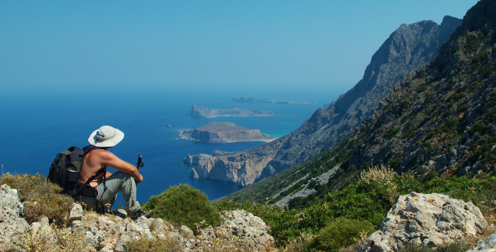
Gramvousa crossing
The Gramvoussa peninsula is a land of exaggeration: barren, chaotic, isolated and uninhabited, someone would say a desert if it was not surrounded by sea. But the Cretan land, even in the places of the least, knows how to amaze with its unexpected beauties: on one side there is Agneio, the hidden spring between stony stone and salty water and on the other ide, there is Balos, the most beautiful coastal landscape of Greece. Indeed, reaching over Balos, one thinks that it faces the promised land of the Exaltation, which naturally stretches West.
You can get to Balos in three ways. The experienced hiker will start from Falassarna on foot, through a wild landscape and an equally wild trail that ends to the shimmering beach of Balos. Those less familiar with the Cretan terrain will leave the car on the dirt road that ends here from Kissamos and will go down the nice cobbled path to the beach. More relaxing, but no less interesting, is the access by the tourist boat from Kissamos, which also stops at the island of Imeri Gramvoussa and gives you the opportunity to visit the castle.
You might have to do all three ways.
Metrics
Access to Balos beach
Length: 1300 μDifficulty: 1/5
Time: 0ω30
Falassarna-Balos
Length: 10.4 kmDifficulty: 3/5
Time: 4h
The Falassarna-Balos trail is one of the trails offered in the FREE entity Best Trails of Greece, included in the Best of Greece group of topoguide Greece mobile app.
Nestos
Thrace
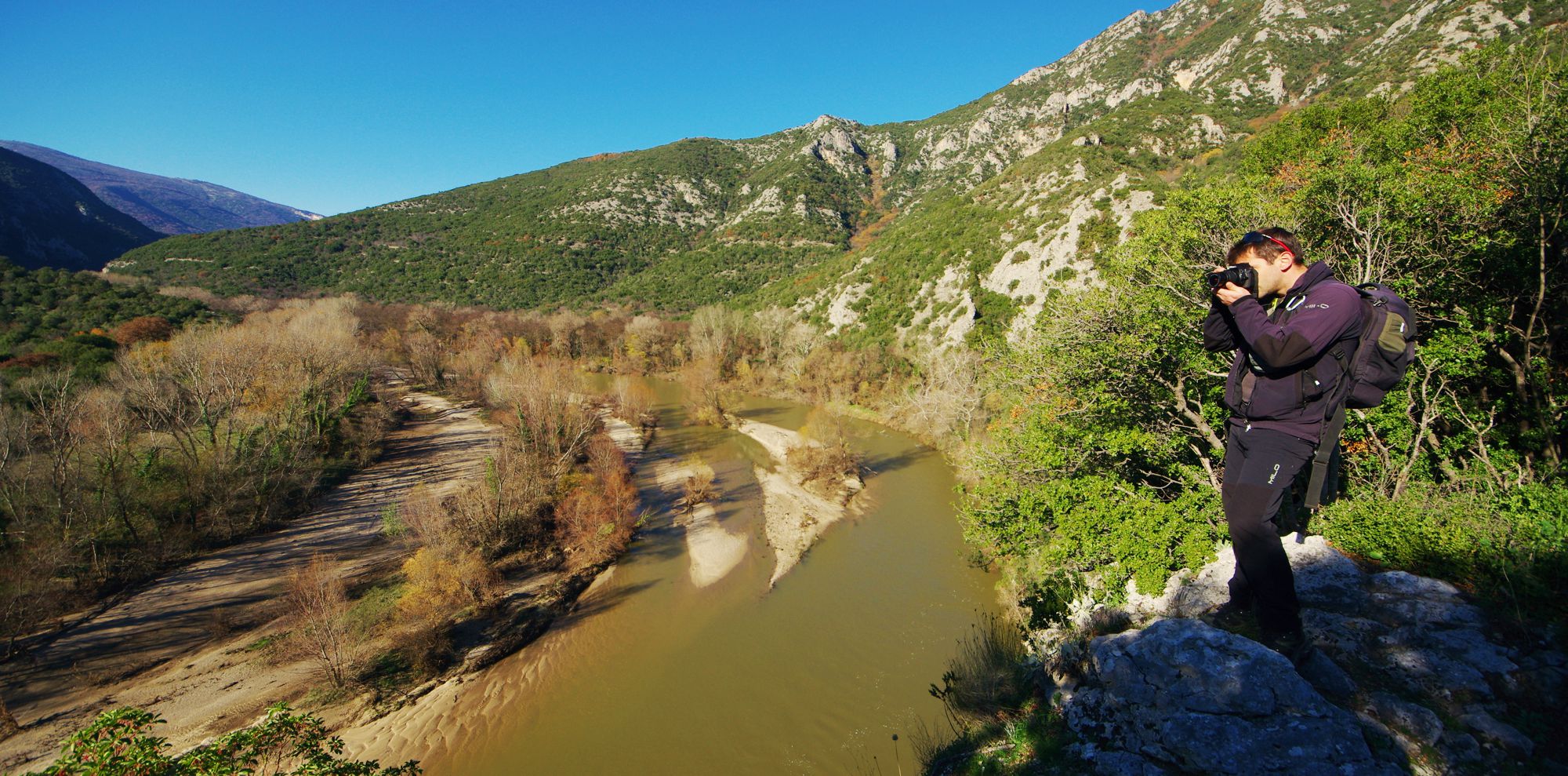
Nestos Strait
There is a number of cases where an older technical work finds a completely different use in the modern world: the ancient quarries become climbing areas, the Venetian aqueducts become attractions, the roads to the Naxos emery mines are full of hikers. And at Nestos Strait, the path that was carved into the rock for the construction of the railway - and has not been reused since then - is now the pathway of one of the most spectacular hiking trails in Greece.
The route starts from Galani, from the asphalt road that ends to the Nestos Straits, and continues on the path - in the beginning carved into the rock, then stone-built - that follows the flow of Nestos river upstream and reaches the nowadays deserted railway station of Kromniko. From here, a very good and mostly stone-built path leads up to the abandoned village of Kromniko, a short-lived settlement of 1922 Asia Minor refugees.
From Kromniko, there are trails going to Stavroupoli and Xanthi and road connection to Stavroupoli and Galani.
Arcadia
Peloponnese
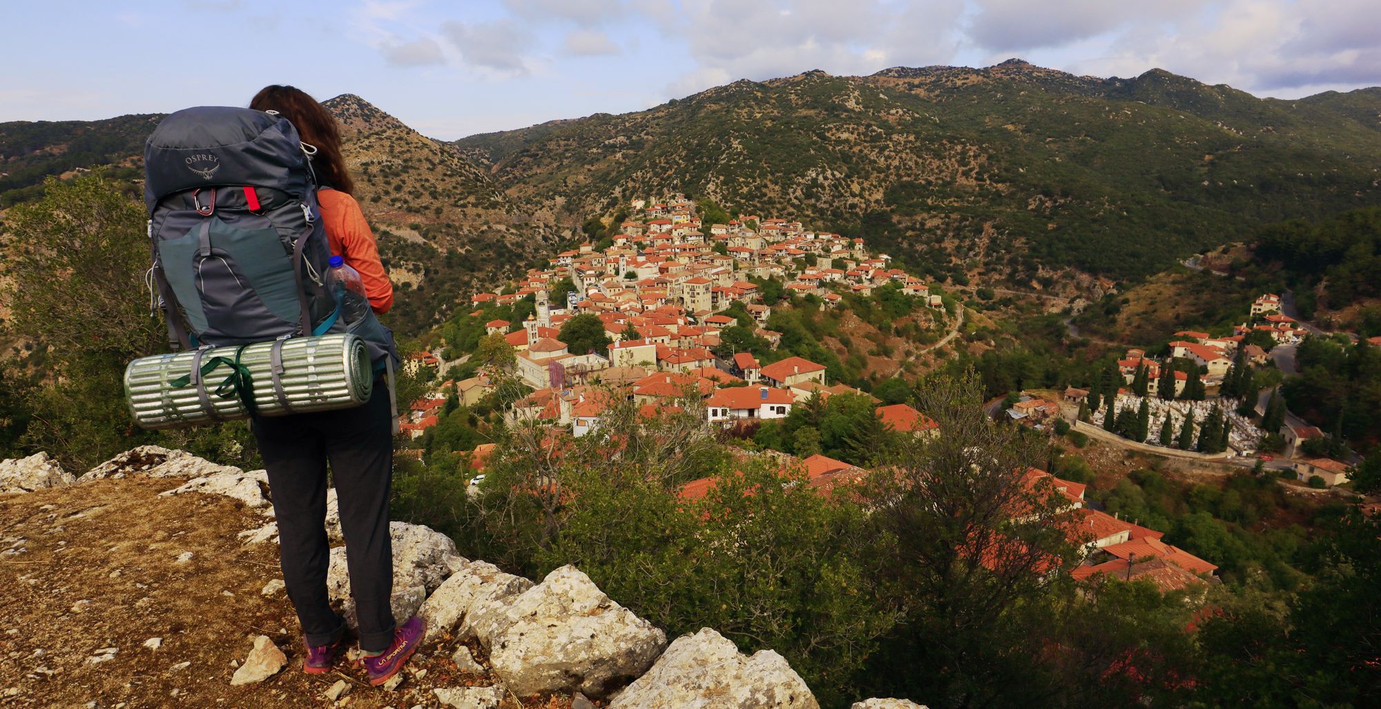
Loussios Gorge
The crossing of the Lousisos River Gorge is definitely the most interesting, the most spectacular and the most culturally and environmentally rich hiking route on the Menalon Trail and possibly all of Arcadia.
The natural landscape is rugged and unspoiled. Wildlife is rich and omnipresetn: hawks and other predators hover over the cliffs, White-throated dippers shiver in the river, bats rest in the Old Philosopher's monastery, while a large variety of often rare plants hides behind every turn.
It is a journey full of visual surprises. Man made elements - villages, bridges, monasteries - seem to be coming out of another era of the earth, an age of moderation and harmony.
The trail is perfect, the waymarking rich and functional, the rest places exactly where you need them (and equipped with nice fountains, such as the Prodromos and Philosophy convents).
If one can only go one route in the Peloponnese, this is the Loussios Gorge.
Zagori
Epirus
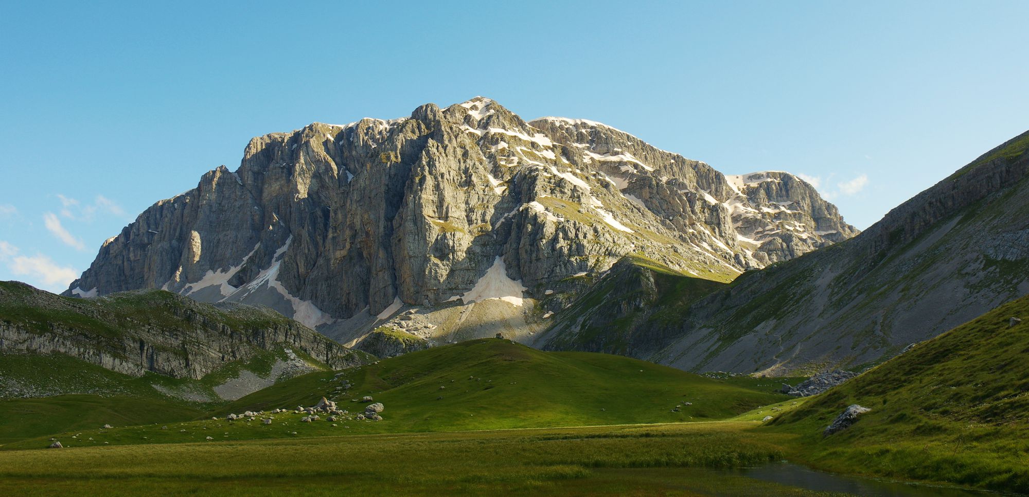
Papigo-Lake Drakolimni
The largest and best known of all the alpine lakes of Greece, Lake Drakolimni of Gamila nests between the peaks of Tymfi at an altitude of 2000 meters. The scenery is mesmerizing, with the shape of the peaks writhing and redrawing under the gusts of the winds and the figures of the chamois floating in the utter calm.
Drakolimni access is one of the most tasteful mountain hikes in Greece. Starting from Mikro Papigo and climbing along the gusty Towers, the trail first reaches the Astraka refuge, opposite the steep slopes of Astraka with its fine climbing routes. Go down to Laka Tsoumani, and around a small or larger - depending on the season - shallow lake and catch the long but smooth final uphill path for Drakolimni lake.
Papigo-Drakolimni is a quite popular route: it is hard to find yourself alone. The Astraka refuge is always open and waiting for you for a hot brew or a well-earned dinner.
Zagori
Epirus
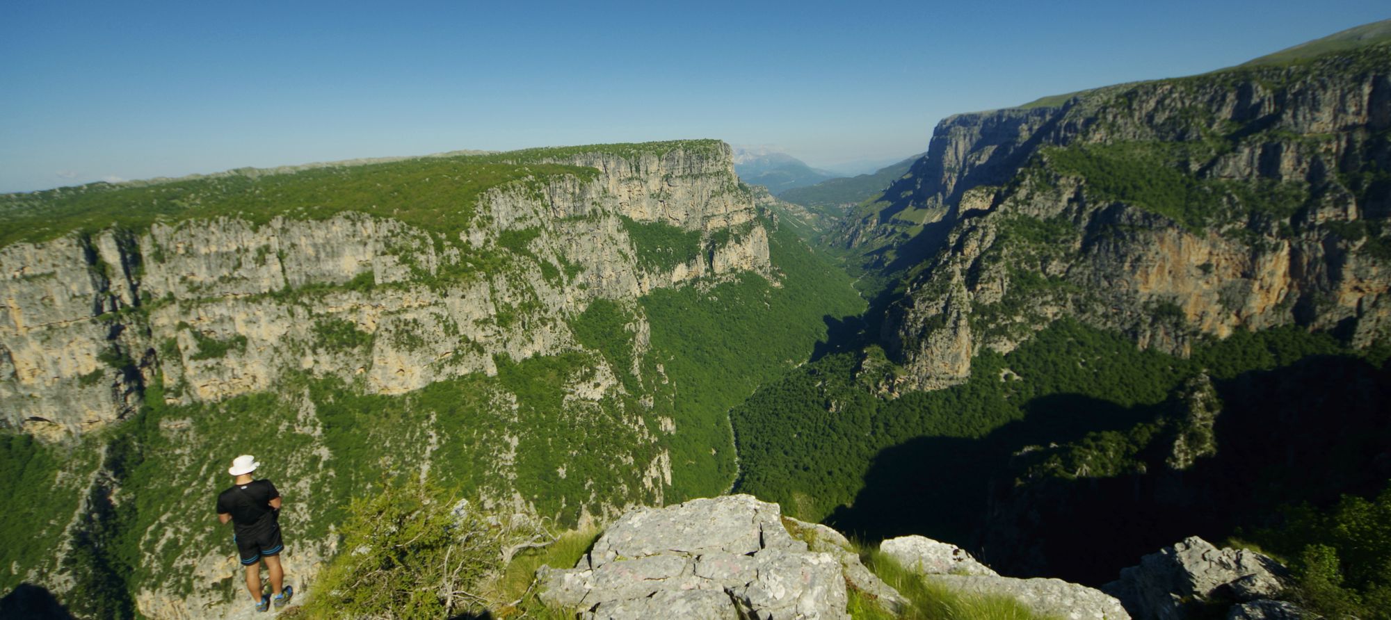
Vikos Gorge
No matter from which side you approach it, Mt Typhi complex is inaccessible and stony: rocks and deep ravines enclose it to the north, east, and south. To the west, the tectonics giant's knife has cut the unbreakable rock in two, separating Mt Astraka from Mt Stouros. This deep crag extends from the Kipi to Kleidonia and is wide enough to hold a real river that continues to dig it all year long. Being almost friendly at the beginning and end, the ravine darkens in the middle, below a thousand meters of rocks. And at this very point, Mt Astraka unloads its crystalline waters, giving birth to the Voidomatis river.
Vikos Gorge, along with the Samaria Gorge, are the two most popular hiking destinations in Greece. The hike usually starts at Monodendri and ends at Vikos or Mikro Papigo. Although the overall trail is downhill, the course reserves a solid uphill finish. The path is well-trodden and well waymarked; however, you will be forced to step into the water in 2-3 narrow places.
Sfakia
Crete
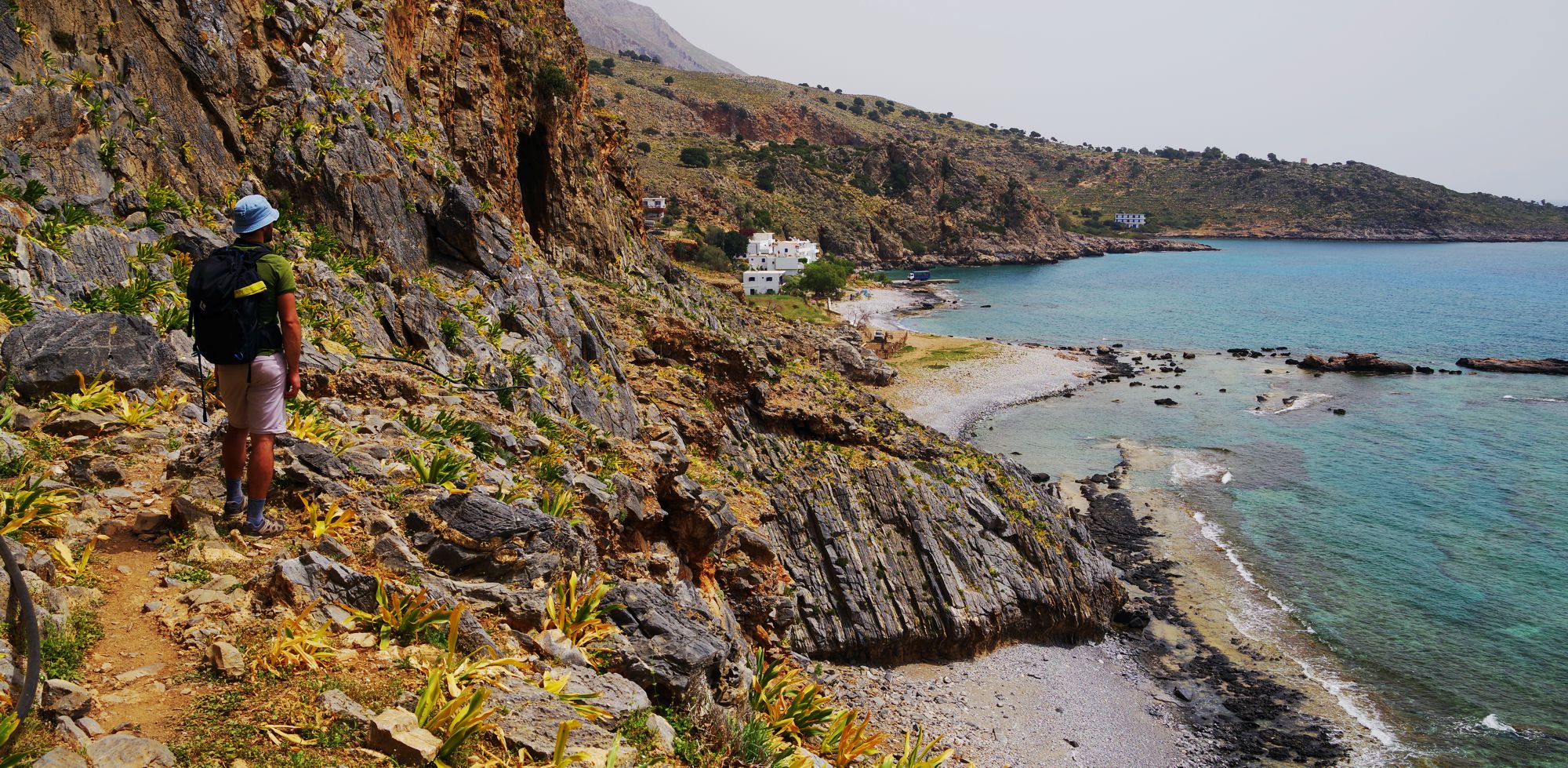
E4 Sfakia-Agia Roumeli
A member of the group of wild trails crossing the southern coast of Crete, the Sfakia-Agia Roumeli route is much friendlier than its cousin, the Agia Roumeli-Sougia route, lost in the wickedness of a multi-faceted relief. From Sfakia to Agia Roumeli, you have to deal mainly with the length of the hike, while the difficulties are small and local.
The hike starts from Sfakia and reaches soon Loutro. Continue on an easy terrain to Marmara, a perfect spot for resting, swimming and - why not - staying overnight. The path overlooks the coast to Agios Pavlos, from where it really continues on the coastline. Agia Roumeli, with its rich tourist infrastructure, pleasantly surprises the tired hiker.
Return to Sfakia by the daily ferry services.
Chania
Crete
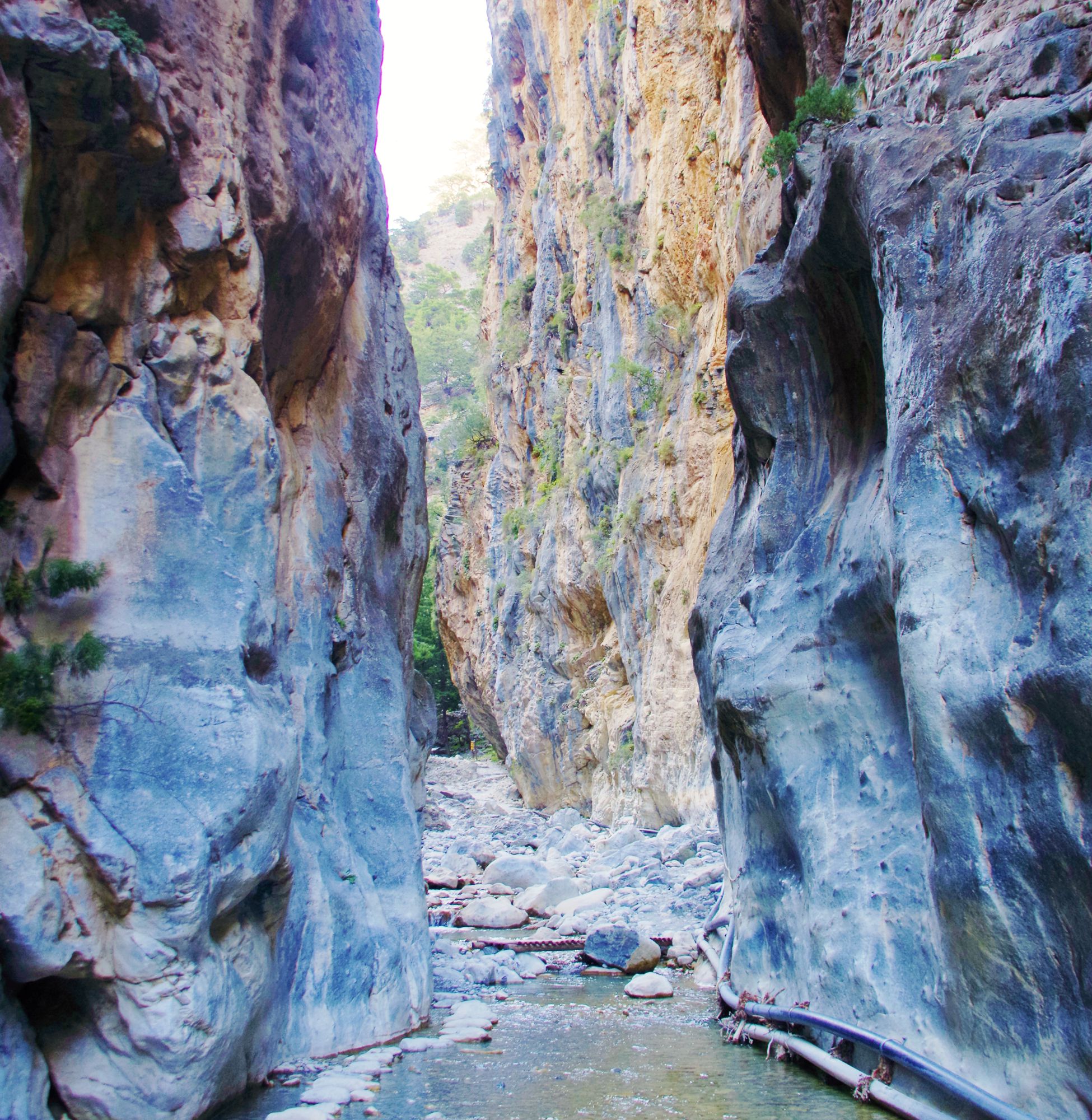
E4 Samaria Gorge
The Samaria Gorge is a 13 km long canyon, surrounded by cliffs up 1500 m heigh. Its width ranges from a few hundred meters to a few meters; a rich stream of water flows through the river bed. In the middle of the gorge lies Samaria, a hideout and base of the revolted Cretans, who knew stone by stone the gorge and its innumerable secrets. In addition to unusual human specimens, an endemic wild goat subspecies, the Cretan wild goat, hid and survived here; on the inaccessible rocks of the canyon, small plant communities developed adaptations and peculiarities, creating new, extremely rare species.
With these few indroductory notes, it is clear that the Samaria Gorge is unique for a number of reasons: the size, the presence of the river and the settlement, the peculiar nature, the thousand-year history of each stone and each pass. In short, nothing is ordinary in this canyon. It is no coincidence that the word Samaria crystallizes in the soul of Cretans the notions of freedom and braveness.
Crossing the Samaria Gorge is more of a pilgrimage than a hike. Throughout the summer, thousands of people descend every day from Xyloskalo to Agia Roumeli, on an exemplarily arranged path, to declare their submission to the towering rock gods.
Mt Olympus
Macedonia
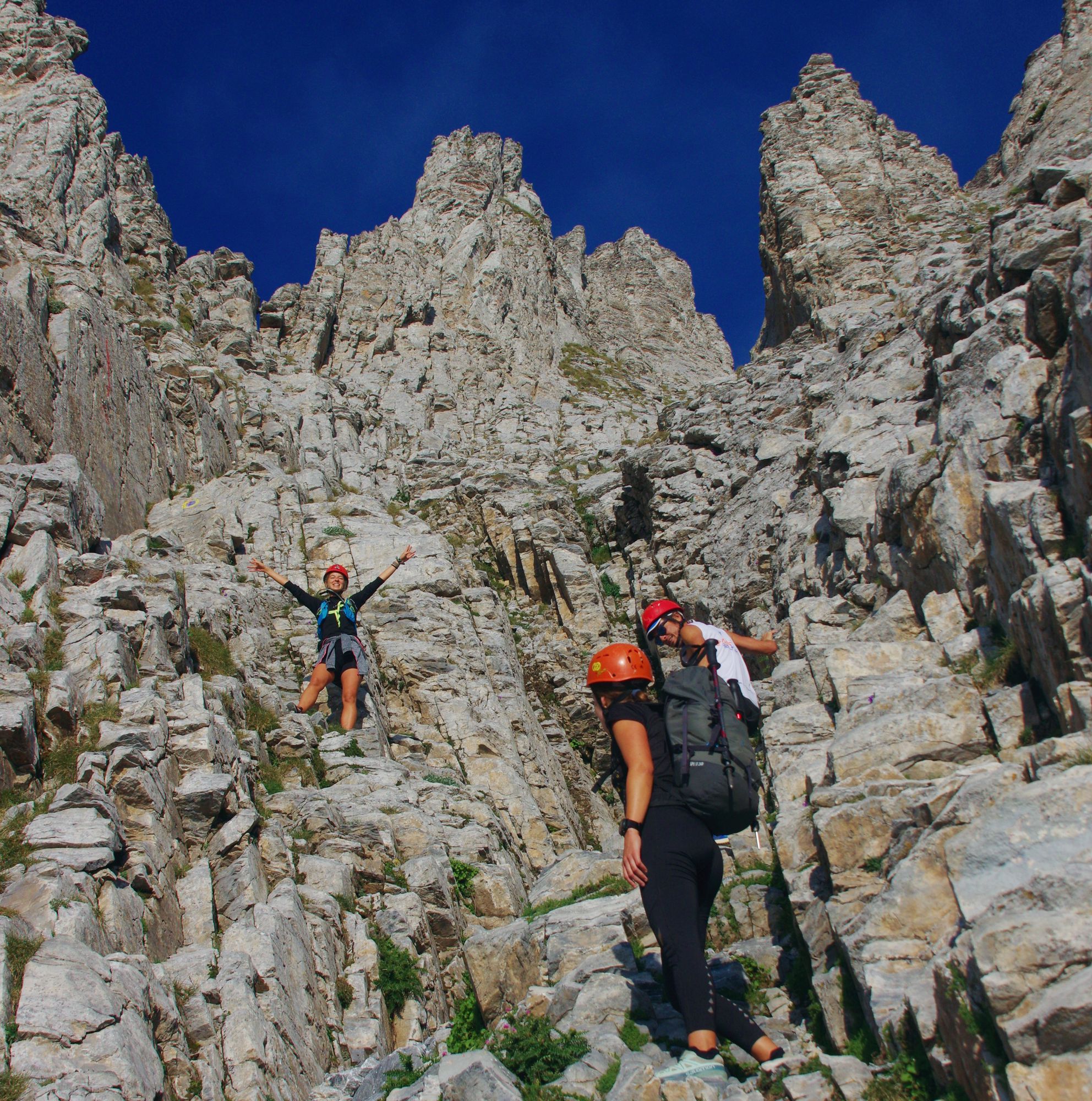
Gortsia-Muses Plateau-Mytikas
The ascent to Mytikas, the highest peak of Mount Olympus - and highest elevation point of Greece - is more than a mountaineering expedition: it is a ritual. The climb up to the Muses Plateau, the stay overnight in the refuge, the morning preparation and the slow progress under the threaten of the flimsy towers are the anticipated initiation process to enter the Mytikas couloir (Louki of Mytikas). More difficult than any hiking, almost an easy climbing route, Mytikas couloir is for everyone a test, even for those very familiar with Mount Olympus. The intensity only decreases when you find yourself on the Muses Plateau again, hours later.
The ascent to Mytika from Gortsia (or Diastavrosi) follows the long path to Barba, then to Straggos and then to the last resting place before the desolation of Skourta, the Petrostruga refuge. After Skourta ridge, enter the "Yosos Step". Yosos Step leads you to the Muses Plateau, where the only muses you could encounter are Fog and Snowstorm. The trail leads at the two refuges, bearing the names of two men who linked his life to Mt Olympus, Chr. Kakalos and Yosos Apostolidis.
From the Muses Plateau, the trail runs straight into the Zonaria ledges, until the entrance to Mytikas couloir. Mytikas couloir is a very steep but relatively safe rocky corridor between the Mytikas towers and leads right to the summit. Climbing the Mytikas couloir requires attention to your own movements and alertness to the movements of others - there is always a chance that someone or something will fall.
Way back to can be made either by climbing down the Mytikas couloir, or by the less steep Kakoskala traverse to the summit of Skala and then via the Zonaria ledges back to the Muses Plateau.

topoguide Greece
HIKING, NATURE & CULTURE GUIDES
The best trails of Greece are offered as a FREE content in the hiking and touring applicationtopoguide Greece, created by AnaDigit. The Best trails of Greece are included in the Best of Greece entity.
The application topoguide Greece is available for Android devices. The app give access to 65 mountain regions and islands.
The application topoguide Greece is also available for iOS (iPhone και iPad) devices.
topoguide Greece loads off-line maps, hundreds of POIs and extensive guide-books and can display simultaneously five regions, allowing the user to survey very large areas, selecting easily the relevant topic among the hiking routes, the POIs lists and the guide-books.


