Long Pelion Trail topoguide
Long Pelion Trail
Long Pelion Trail topoguide

a hiking and nature guide
to the Long Pelion Trail
Πατήστε για μεγέθυνση
a hiking and nature guide to the Long Pelion Trail
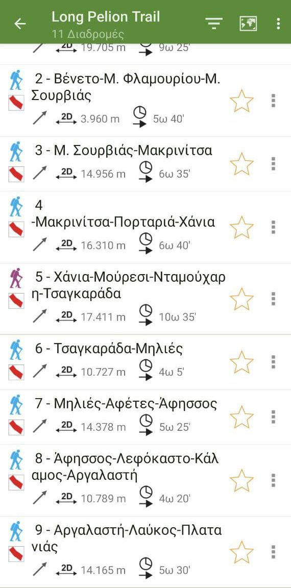
Long Pelion Trail topoguide, a member of the large topoguide family, is a hiking and nature guide to the Long Pelion Trail. The application includes a routing service, descriptions and photos for 11 hiking trails, corresponding to the 11 sections of the route.
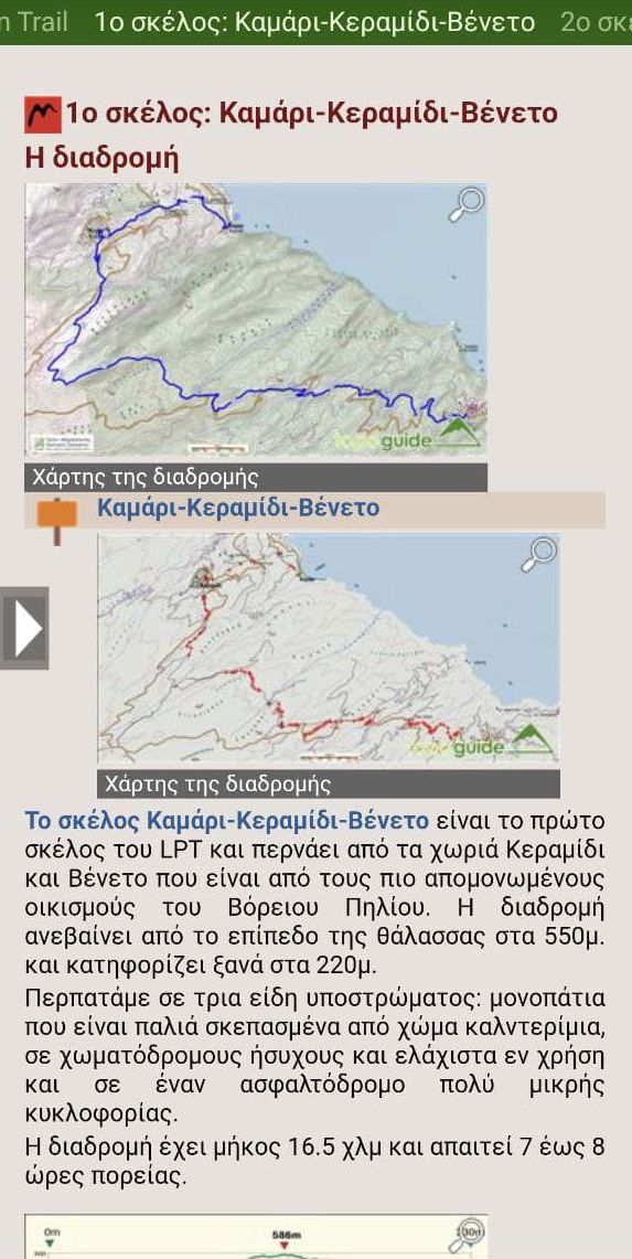
Each of the routes has an elevation profile, metrics, detailed description, photos and a table of Points of Interest.
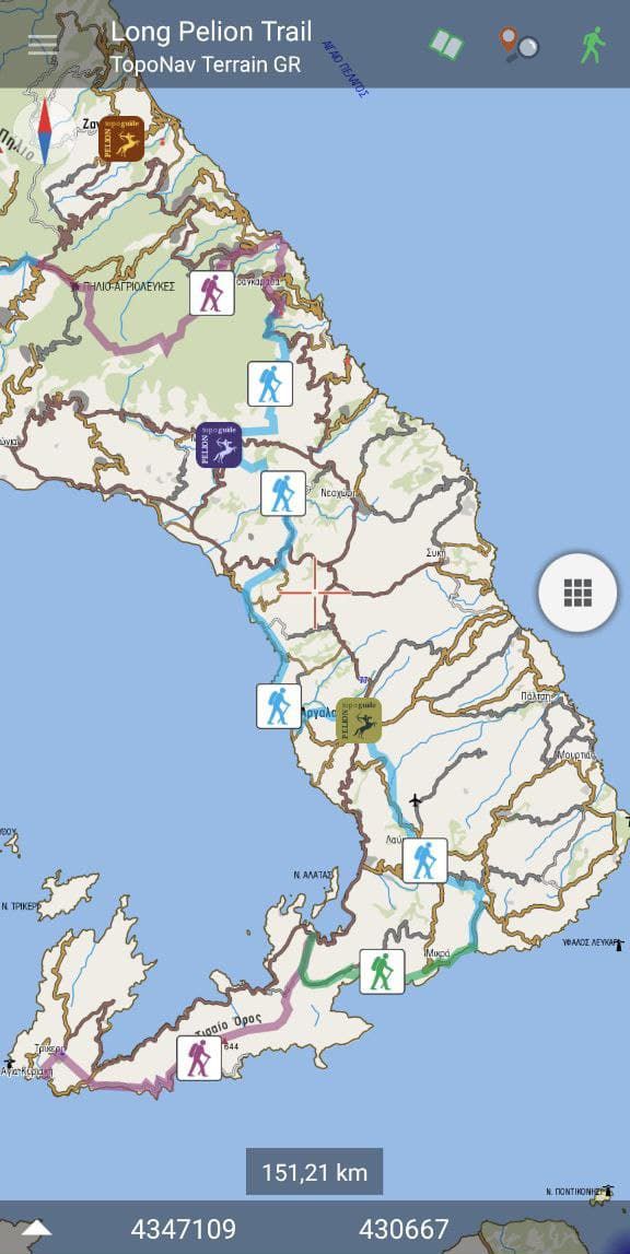
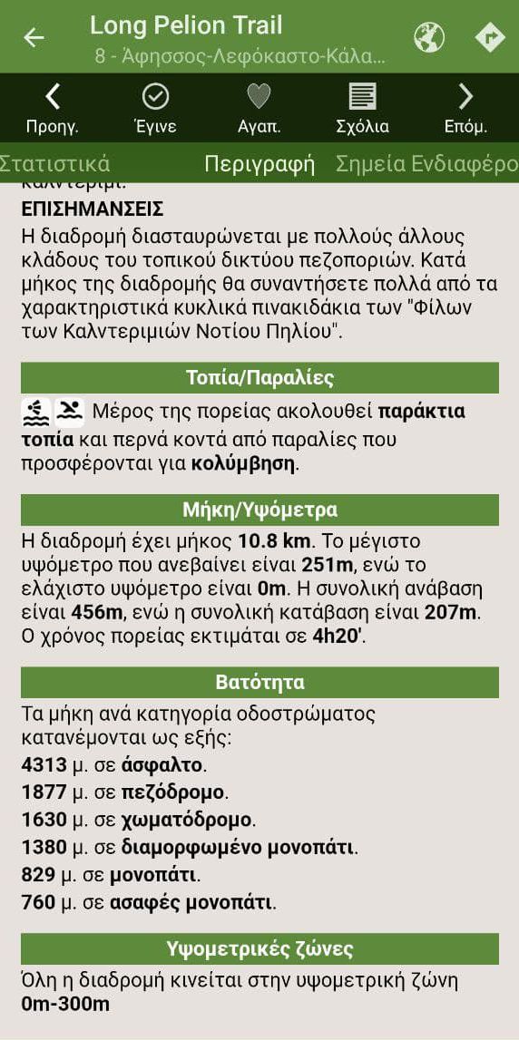
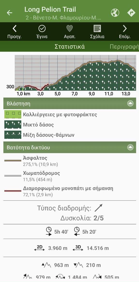
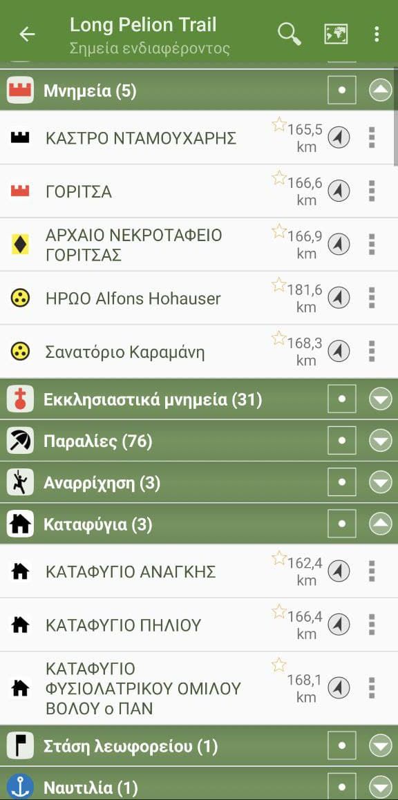
Finally, Long Pelion Trail topoguide guides the hiker to return to the trail, if he is more than 20 m away from it.
Long Pelion Trail topoguide
The guide Long Pelion Trail topoguide is a member of the Long Trails group of the app topoguide Greece, available for Android devices via the Google Play Store.
The guide Long Pelion Trail topoguide is also available for iOS (iPhone και iPad) devices via the app Topoguide Greece, as a member of the Long Trails group.
The application offers active navigation along the trails, as well as a concise guide on the geography, the nature and the culture of Mt Pelion.

