Paliochori: trails, history, facilities, routes
Paliochori
Paliochori, the "old village", is a small settlement near Dimitsana, built on the edge of a large plateau. Endowed with a mild climate and abundant water from the Agiannis springs, Paliohori was "the orchard" of the wider area up to Vytina (apparently for this reason the village is also referred to as Prasinochori - "the green village").
Local people remember that even after the WWII, when Vytina had a daily trade with Tripoli, once a week a small caravan of mules and donkeys would set off at midnight from Paliohori to arrive at down, after a 6-hour trip, in the center of Vytina, at the moment when the weekly bazaar opening. Even today the place is cultivated with fruit and vegetables, supplying the shops of Dimitsana.

The cemetery church of Agii Apostoloi
Hiking around Paliochori
The guide Mt Menalon topoguide includes all hiking routes that cross Paliochori.
Text and photos by T. Adamakopoulos

topoguide Greece
A guide to Mt Menalon

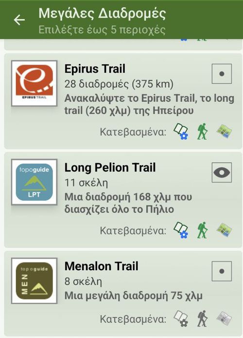
Mt Menalon topoguide is available for Android devices as one of the dozens of available region of Greece via the topoguide Greece application. Mt Menalon is a member of the Peloponnese group. Get the Mt Menalon guide as an in-app purchase through the app.
Mt Menalon topoguide is also available for iOS (iPhone & iPad) devices via the application Topoguide Greece. Get the Mt Menalon guide as an in-app purchase through the app, found in the Peloponnese group.
topoguide Greece offers active navigation along the trails, as well as a comprehensive guide to the geography, the nature and the culture of the area.


