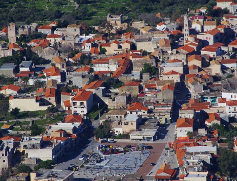
The villages of Areopoli
The villages of Areopoli
The area from Gerolimenas to Cape Tanaro has three main inhabitation nuclei: the zone around Gerolimenas, focusing on the small harbor, the zone from Alika to the neck of Tenaro peninsula, where the reference settlement remains Vathia, although it is no longer inhabited, and finally the Tenaro Peninsula itself, a wild and poor area hosting a few, small settlements.
Gerolimenas

The narrow bay of Gerolimenas has two important natural features: it is protected both by the sea winds and by the "storms" of the land. Indeed, even today, access to the small port is via two easy-to-control roads, and the structure of the old core of the village reflects this concern to defence.
Gerolimenas took its name from the obvious designation "Limenas" (meaning port) and the self-explanatory suffix "Gero-", meaning "Old", that accompanies the old settlements - in contrast to the newer ones. The "old" port of Inner Mani, therefore, was the only marine gate of the region from Katopagki down to Cape Tenaro - much more leeward and spacious than Mesapos. An old pirate refuge, it became a local trading center in the late Ottoman occupation period and a real transit center of the post-revolution era. The harbor had warehouses, fishery buildings, an ice production facility and a mooring especially for sponge fishing boats, as well as shops, as it was the last stop for Greek fishermen harvesting the North African coast - and the first harbor to reach on the return route. An indication of the importance of Gerolimenas is that till the end of the 1970s, the ships serving the line Piraeus - South Peloponnese - Kythera made a stop there.
Today Gerolimenas is a picturesque harbor supporting the local fishing activity. The settlement, having experienced the tourism opportunities, has been equipped with some catering and accommodation infrastructure and in the summer lives a short glance, to return to a long hibernation of 50 residents, owners of the few shops serving the small hinterland from Katopagi to Vathia.
topoguide Greece
Self-guiding in Mani peninsula
The cartography of
Areopoli topoguide is available for Android devices as one of dozens of regions of Greece offered by the application topoguide Greece. Get the Areopoli topoguide as an in-app purchase.
Areopoli topoguide is also available for iOS (iPhone και iPad) devices as one of the regions offered in the hiking application Topoguide Greece. Get the in-app purchase Areopoli topoguide and explore Mani peninsula.

