Hiking in Geraneia
Hiking in Geraneia
Geraneia, being just a few of kilometers from Athens, offers a unique combination of hiking field and excursion opportunity.
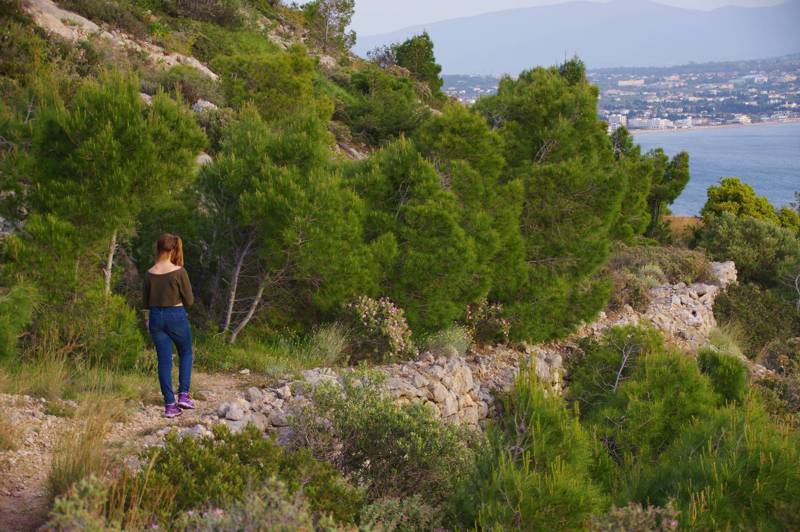
Geraneia's hiking suggestions include coastal routes in the Alkyonides bay, climbs and walks in western Geraneia, based on Loutraki, Perachora or Pisia, and crossings in the eastern complex, with Prarthi and Makriplagi as the focus.
Ireo-Melagavi

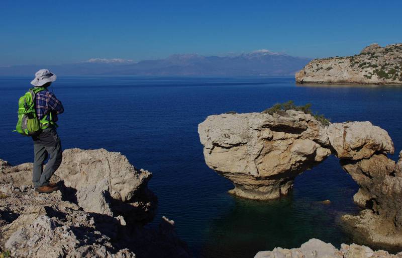
The most special gift of the region to its visitors are the coastal walks from Lake Vouliagmeni to the Melagavi lighthouse. The landscape itself, the rugged coastline - dotted with geological evidence - the successive archaeological sites and, as a culmination, the peaceful images from the cape and the lighthouse, offer the hiker a purely island note - something like a terrestrial Cycladic triptych with sea, mountain and culture.
Above Loutraki and around Ntouskies

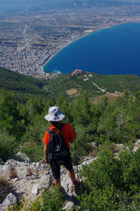
The most interesting hiking area of Geraneia is the western mountains of the complex, that is the small ridge Paliovouna-Pintiza-Petra Perachoras and the two Ntouskies. In this section, the trails are cleaner, better marked and more walked. The EOS of Loutraki, which organized and maintains the routes, implemented a coding with four colors and two symbols: thus there are four routes with a square symbol (Blue, Yellow, Red and Green Square) and one with a triangle (Yellow Triangle).
The most obvious starting point for this section is Loutraki, but one can also start from Pisia or Schino.
Remember that part of the area burned recently, so you may find fallen logs on the trail, and the signage has also suffered significant damage. Also, the markings on all routes are often faded and sparse in places. Do not hesitate to turn back a little and retrace the path: a little further down you will find the signs and the beaten track of the path again.

The eastern group of Geraneia looks much less "pedestrian": the ambiguous mass of Makriplagi, steep, almost impassable in the west and very smooth, incised by roads in the east, discourages the hiker. Even the smooth ophiolitic ridge that connects Makriplagi with Laka Tzaravi does not look "appetizing".
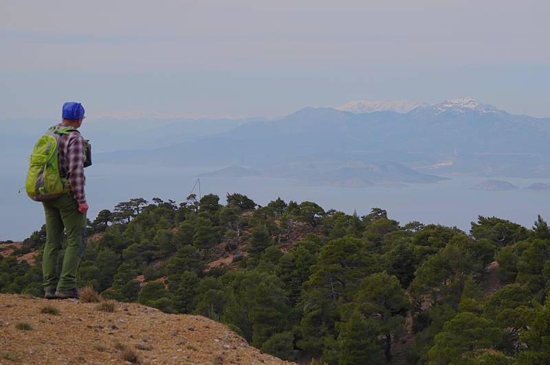
However, the four routes we recommend here each have their own character and merits. In the end, the ridge from Laka Tzaravi to Makriplagi is an airy, truly mountaineering, adventure, and the circular trail from Prarthi to Treis Portes and back to Prarthi via Ntartizas is surrounded by interesting scenery. Finally, the two ascents from Derveni, with the destinations of the OTE tower and the Gkoura spring, respectively, necessarily include a large section of dirt road, but they offer ample views of the surrounding mountainous and seascapes.

We emphasize that the paths in the area were marked and highlighted thanks to the tireless efforts of the friends of Geraneia, such as the Hellenic Mountaineering Association of Loutraki, which maintains several kilometers of hiking trails, mainly in the western complex.
At the same time, every month there are group climbs, crossings or events organized by clubs, groups or specialized agencies. However, there is a lack of organized intervention from local or central agencies, which would allow the development of a real and multifaceted hiking product.
Text and photographs: T. Adamakopoulos
Geraneia topoguide
The most complete hiking guide for the region is Geraneia topoguide.
The guide Geraneia topoguide it is included as one of the regions of Greece in the application topoguide Greece. Geraneia is a member of the Attica groupς.
Topoguide Greece is available for Android devices from Play Store.
The application Geraneia topoguide is also available as an in-app-purchase (in-app-purchase) in the Topoguide Greeceapplication, designed specifically for iOS devices (iPhone και iPad).
The Geraneia topoguide guide includes all Geraneia hiking trails - along with nature exploration trails, geological trails, mountain bike trails and mountain running trails.
All routes are accompanied by detailed descriptions, photographs and the points of interest in their immediate vicinity. The application recognizes the nearest route and suggests the user to actively guide him along it.

