Hiking in Center and Northern Zakynthos
Hiking in Center and
Northern Zakynthos

The landscape in western Zakynthos is marked by a smooth mountain ridge, reaching 757 m on Vrachionas peak. Western slopes are very steep, ending to inaccessible coves, while eastern slopes are smoother, dominating the main Zakynthos plain. Because of the dense road network, only a few trails are left in the area.
From the hikes proposed below, the two paths leading to the Spiliotissa cave and the deserted monastery Agios Andreas in Volimes, respectively, are of greater interest.
On the other hand, the trail from Exo Chora to the Mycenaean tombs in Kampi combines archaeological interest with excellent views of the Ionian Sea.
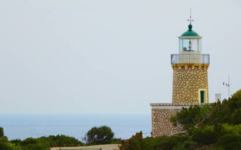
Finally, we suggest a crossing of the desolation area along the northwest tip of the island. This trail, passing by to the new Schinari lighthouse and ending to the old ruined one, crosses through the very small village Klima and gives the opportunity to join with an unknown rural Zakynthos.

topoguide Greece
ZAKYNTHOS TOPOGUIDE

The digital field guide Zakynthos topoguide is available for Android devices as an in-app purchase within the application topoguide Greece. Zakynthos topoguide is a member of the Greek Islands group.
The digital field guide Zakynthos topoguide is also available for iOS (iPhone and iPad) devices as an in-app purchase within the application Topoguide Greece. There also, Zakynthos topoguide is a member of the Greek Islands group.
Zakynthos topoguide includes an extended introduction to the geography, the history, the landscape and the nature of Zakynthos island, and a list of

