Hiking in Zakynthos
Hiking in Zakynthos

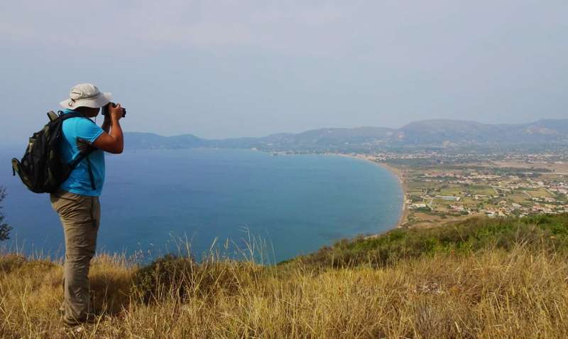
A significant percentage of the visitors of Zakynthos island are looking for a more natural way to get in touch with the landscape and the nature of Zakynthos. They focus on mountain villages, deserted beaches and forested peaks, looking for secret pathways that will lead them to a remote church, a hidden cave or an anonymous ridge. The Municipality of Zakynthos, in an effort to better guide hikers and nature lovers, assigned AnaDigit to record the current situation and to design the necessary hiking routes.
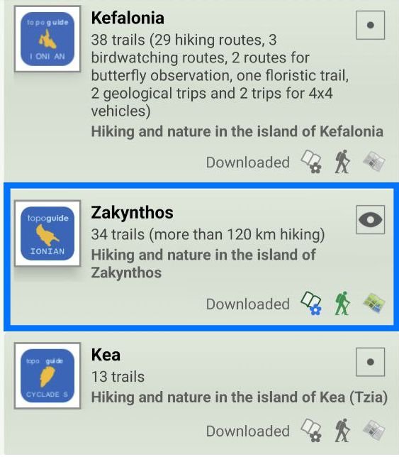
Although a only a few fragments of the old mountain roads and paths are preserved on the island, ita has been possible to link the remaining small paths with pleasant dirt roads and compile a hiking tour network. An extented network 115 km long, divided in 34 hiking routes, has been proposed.

topoguide Greece
ZAKYNTHOS TOPOGUIDE

The digital field guide Zakynthos topoguide is available for Android devices as an in-app purchase within the application topoguide Greece. Zakynthos topoguide is a member of the Greek Islands group.
The digital field guide Zakynthos topoguide is also available for iOS (iPhone and iPad) devices as an in-app purchase within the application Topoguide Greece. There also, Zakynthos topoguide is a member of the Greek Islands group.
Zakynthos topoguide includes an extended introduction to the geography, the history, the landscape and the nature of Zakynthos island, and a list of

