Emborio-Pyrgos
Emborio-Pyrgos
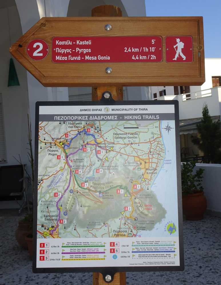
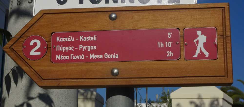
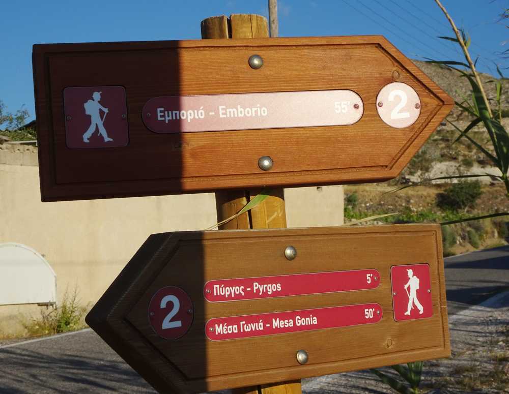
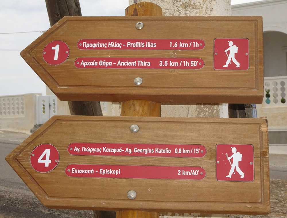
The trail starts to the SW of Pyrgos and in the beginning is sandwiched between other uses. Soon the field becomes cleaner and the route follows a very pleasant downhill path with a nice view.
The path meanders between two high stone walls and after intersecting with a dirt road, descends more decisively to the upper part of the old Emporio. Enter the medieval village and continue downhill, passing by the cave houses, most of them abandoned nowadays. The path gradually becomes a concrete road. Arriving near the Castle of Emporio, leave the road to go through the cobbled paths of the fortified settlement and end up in the square of the village.
Identity
Emborio-PyrgosHiking route
Waymarking: Trail 2
Difficulty: 2/5
Return to start: One way
Aesthetic value: Exquisite
Metrics
Length: 2666 mTime: 1h
Min elevation: 77 m
Max elevation: 328 m
Total ascent: 273 m
Total descent: 31 m
Trail analysis
Paved road: 20%Dirt road: 3%
Path: 77%

topoguide Greece
Hiking in Santorini
Detailed descriptions, metrics, photos and maps of the trail Emborio-Pyrgos are included in the digital field guide Santorini topoguide.
The digital field guide Santorini topoguide is available for Android devices as an in-app purchase within the application topoguide Greece. Santorini is a member of the Greek Islands group.
Santorini topoguide is also available as an in-app-purchase for iOS & iPad devices via the global hiking app Topoguide Greece app. There again, Santorini topoguide is a member of the Greek Islands group.
topoguide Greece offers active guidance along the trail, as well as an extended guidebook on the geography, the nature and the history of the area.
