Discover Santorini

Santorini (or Thera) is the most exceptional island of the Cyclades - and of the entire Greece. It is the largest of a group of islands, in which Thirasia (the second inhabited island), Old Kameni, Nea Kameni and Aspronisi are included.

With an area of 76 sq.km. (a coastline of 69 km. and circumnavigation 36 nm), Santorini is a small island in size. Its particular position, in key distance between the coasts of Attica and Crete, the favorable morphology (a significant part of the island is cultivated) and the uniqueness of certain natural resources (such as pumice), were, despite all other vicissitudes of the natural environment (shortage of water, earthquakes and volcanic eruptions), the main reasons why Santorini was constantly and rather densely inhabited and why it shined for centuries into the historical context of the eastern Mediterranean.

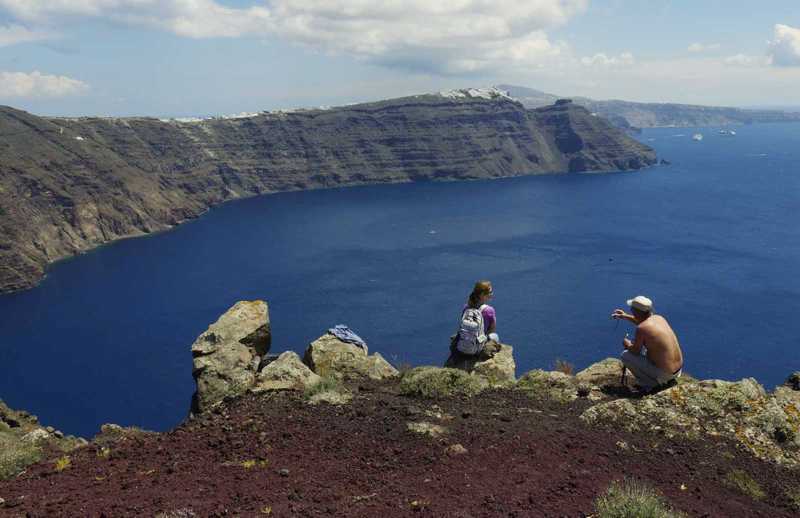
The habitation system, that had been enshrined during this period, did not differ from the one of other Cycladic islands: the main - and oldest - settlements were built in the maximum security zone, the edge of the caldera, away from the vulnerable lowlands and the coast. Steep paths linked the villages of Fira, Firostefani and Oia with their seaports.


topoguide Greece
Discover Santorini
The digital field guide Santorini topoguide is available for Android devices as an in-app purchase within the application topoguide Greece. Santorini is a member of the Greek Islands group.
Santorini topoguide is also available as an in-app-purchase for iOS & iPad devices via the global hiking app Topoguide Greece app. There again, Santorini topoguide is a member of the Greek Islands group.
Santorini topoguide offers active guidance along 27 hiking routes in Santorini and Thirassia islands, as well as an extended guidebook on the geography, the nature and the history of the islands.


