Gramvoussa peninsula
Gramvoussa peninsula

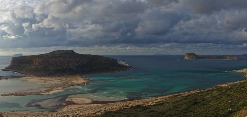
Following a rather common pattern in Greece, the geographical term Gramvoussa refers to a number of distinct locations: two islets, a peninsula and a group of villages.

Gramvoussa peninsula is defined by the road line from the port of Kavonisi to Drapanas bay, the whole area has a size of 45 sq. kms.

Access to Gramvousa is feasible through Kissamos. Kissamos is accessible by plane (50 km distance from the Chania airport) or by ferry, from the port of Souda (45 km via the New Natonal Road E-75/65, Chania-Kissamos). Hikers who wish to visit the area would find the Chania public bus sevice (KTEL) very practical. Buses to Kissamos depart from the central bus station in Chania (Kidonias and Partheniou Kelaidi Str.) and the route lasts 1 hour. The terminal is in the port of Kavonisi, from where the bus returns to Chania.

