Hiking in Methana
Hiking in Methana
Click to enlarge
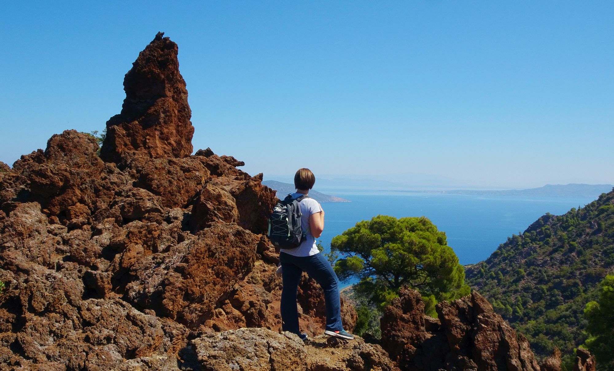
Despite the extremely rocky terrain and the steep slopes, the peculiar morphology of the volcanic volumes, which form linear sequences of recesses - basins, valleys, ravines and plateaus - gave Methana the opportunity of relatively viable pathways.
Thus, since ancient times, settlements, water sources, plateaus, citadels and watch towers have been connected by a net of paths. These paths, in the beginning wild and rugged, were gradually shaped and stone-paved. In the heyday of the traditional economy, the paths of Methana ran down the slopes like the threads of a converging web, sending the resources of the mountain to the villages and from there to the ports and the isthmus, to be sold and exchanged.
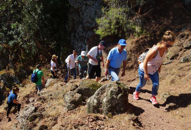
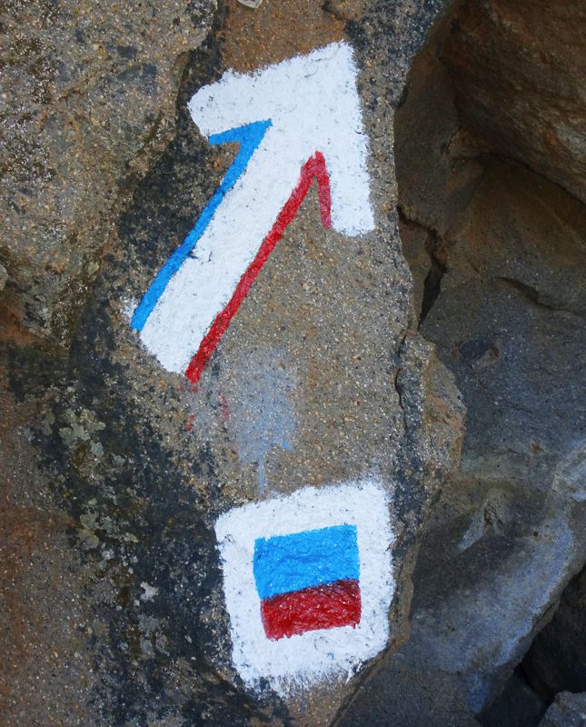
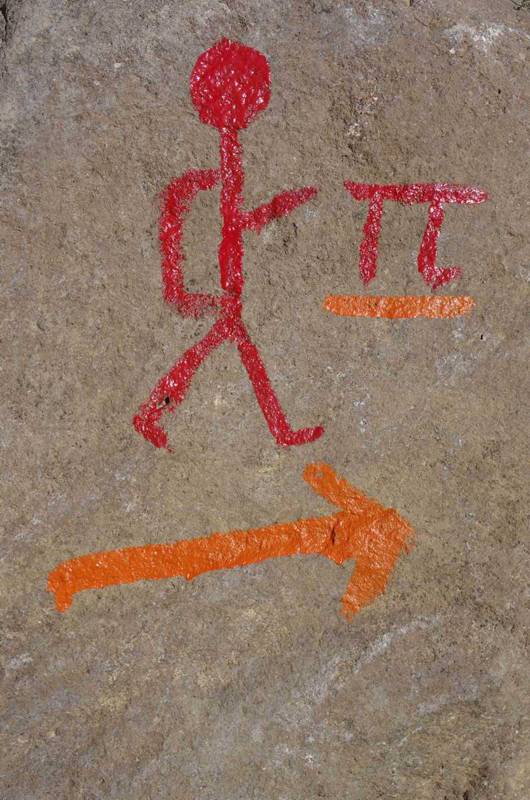
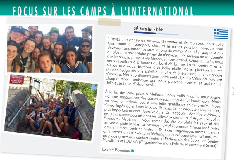
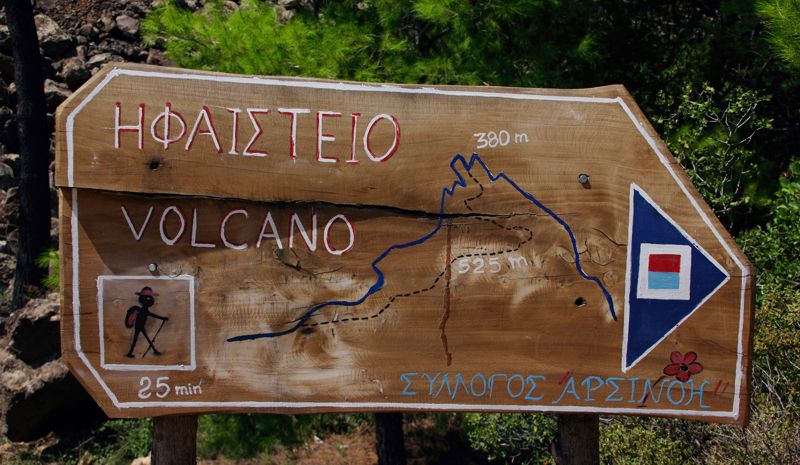
Today, in total, more than 20 routes have been mapped and they are walked relatively regularly in Methana. The routes can be organized in the following groups:
- Starting from Methana: Favieros Castle Route, Methana-Stavrologos, Methana-Throni-Mali Bardi, Methana-Mali Bardi
- Starting from Megalochori and Megalopotami: Panagitsa loop, Megalopotami-Sterna Gambrou, Megalopotami-Makrylogos, Megalochori-Stavrologos, Megalochori-Panagitsa-Makrylogos
- From Kameni Chora: Stavrologos-Kameni Chora, Kameni Chora-Volcano, Kameni Chora-Agios Andreas, Kameni Chora-Krasopanagia, Around Kameni Chora
- Eastern Methana: Stavrologos-Ogas, Stavrologos-Kounoupitsa, Agios Nikolaos-Profitis Ilias, Palia Loutra-Makrylogos-Profitis Ilias
Text and photos: T. Adamakopoulos

topoguide Greece
A GUIDE FOR METHANA PENINSULA
The guide Methana topoguide is available for Android devices along with dozens of other regions of Greece, within the general application topoguide Greece. Methana topoguide is a member of the Pelponnese group. Get Methana topoguide as an in-app purchase from the topoguide Greece available regions list.
The Methana topoguide guide is also available for iOS devices (iPhone and iPad) through the general hiker application Topoguide Greece. Get Methana topoguide as an in-app purchase via the available regions list.
It is very interesting that topoguide Greece has the ability to simultaneously display up to 15 different areas, thus allowing an overall view of the Peloponnese and the easy alternation of hundreds of hiking routes, hundreds of Points of Interest and dozens of pages of the guide with innumerable photos.
